Fast dry loose avalanches (sluffing) initiated from each turn in steep terrain on our descent that entrained snow as it flowed. Sluffing observed from other ski lines put up in steep terrain along Cornbiscuit's SW, Magnum's SW face, and Superbowl peak.
Observation: Turnagain
Location: Cornbiscuit
Ascended to 3200′ on Cornbiscuit from the Cornbiscuit pull-out. Our objectives for the day included 1) measuring snow depths and evaluating structure on northern and southern aspects in the alpine 2) slab characterization and reactivity of Jan 21 BSH layer
Observer Comments
Weather
1000 at Cornbiscuit pull-out: few clouds, 10 degrees, calm, no precipitation
1400 at 3200': clear, 18 degrees, calm, no precipitation
1630 at Cornbiscuit pull-out: clear, 18 degrees, calm, no precipitation
Snow surface
Surface hoar is growing at all elevations ranging from 1 cm at lower elevation to 3 mm in upper elevations. Along ridgelines the surface hoar has been knocked over by wind and the skin track utilized yesterday, along with several tracks dropping off the ridgeline, have noticeably drifted in with wind transported snow. A breakable wind slab a few inches thick can be found in leeward areas above 3000'. These slabs are loosing strength with the faceting occurring from cold temperatures. Northerly aspects look to have been loaded with recent winds, with small cornicing, and scouring near ridgelines on southerly aspects.
The snow from the Jan. 26 storm has settled a lot, as evidence by settlement cones up to a foot high in places. While the snow has settled, it is also faceting out, and sluffing is quite prevalent in steep areas.
Snowpack
Probing above 3000', we found quite variable depths ranging from 30 cm to 270 cm. On average we found depths in the 150 cm-220cm range on Cornbiscuit's SW aspect below the ridgeline. We dug pits in two locations on opposite sides of the ridge at 3200 ft:
Pit 1: North aspect where a slab was present over 1 cm+ intact Jan. 21 buried surface hoar (BSH). HS = 290 cm. 10 degree slope. The structure was generally right side up with the exception of the Jan. 21 BSH layer. ECTN 13 and 16 down 30 cm on Jan. 21 BSH. CT20 SC down 30 cm on Jan. 21 BSH.
Pit 2: S/SW aspect in a thinner location with HS ranging from 55 cm - 105 cm on the other side of the snowpit. 22 degree slope. ECTN 18 down 30 cm on Jan 21 BSH. CT 15 and 23 PC down 30 cm on Jan 21 BSH on the deeper side of the pit. CT29 SC down 65 cm on 2 mm basal facets over a basal ice layer in a thinner portion of the pit.
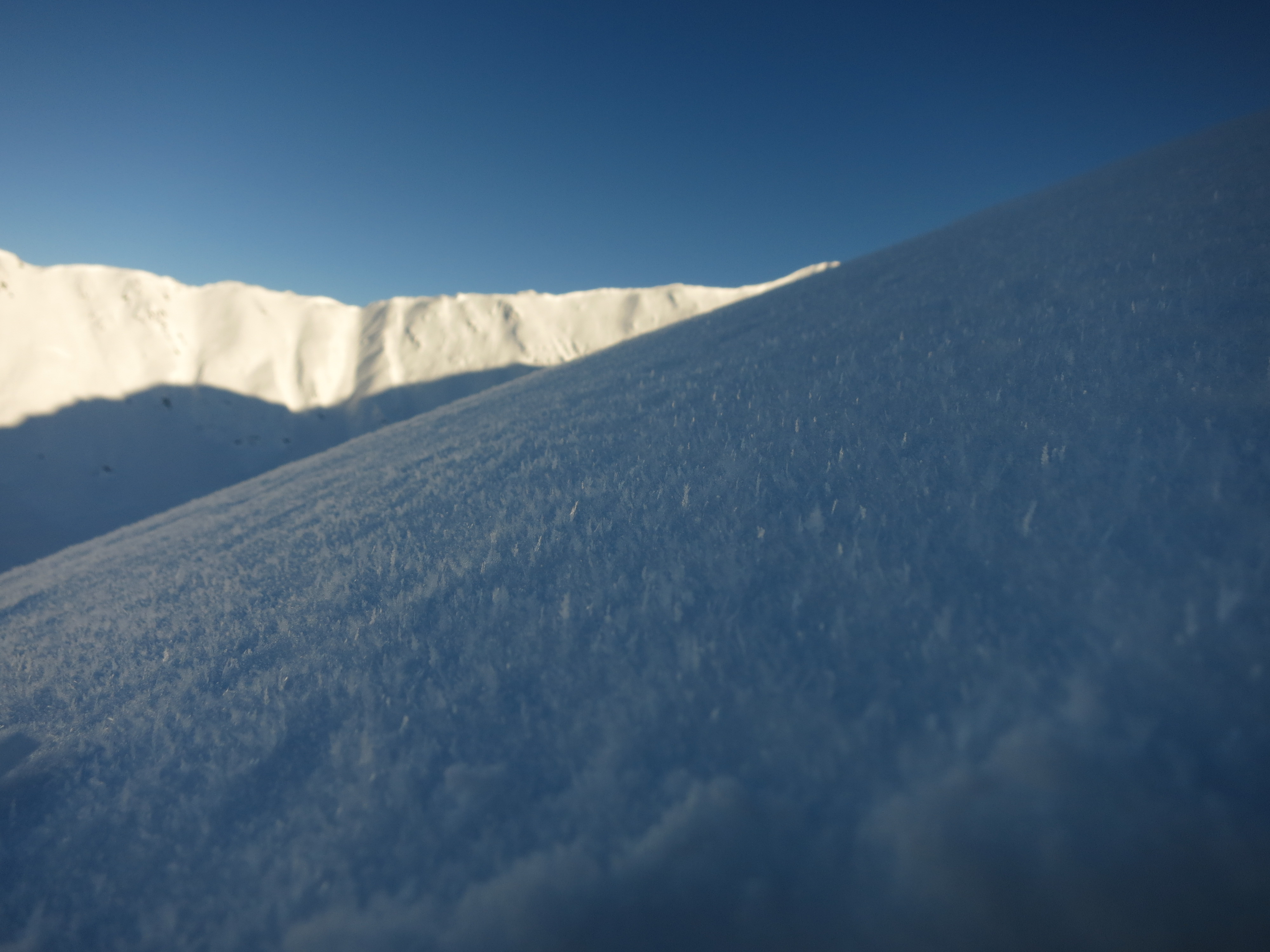
Noticeable wind affect at 3000'

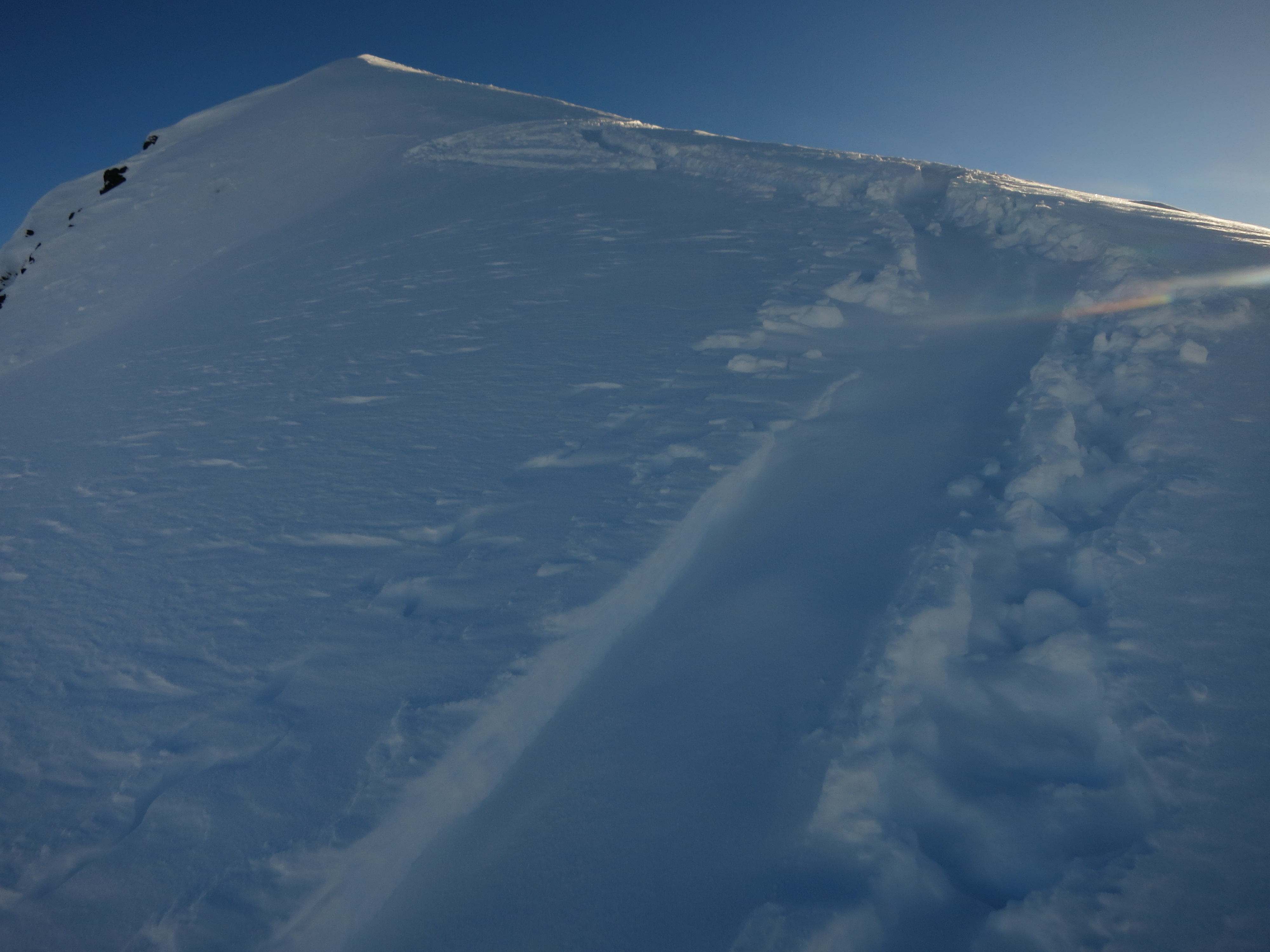
Natural dry loose activity and long running sluffs off turns down steep SW aspects on Magnum

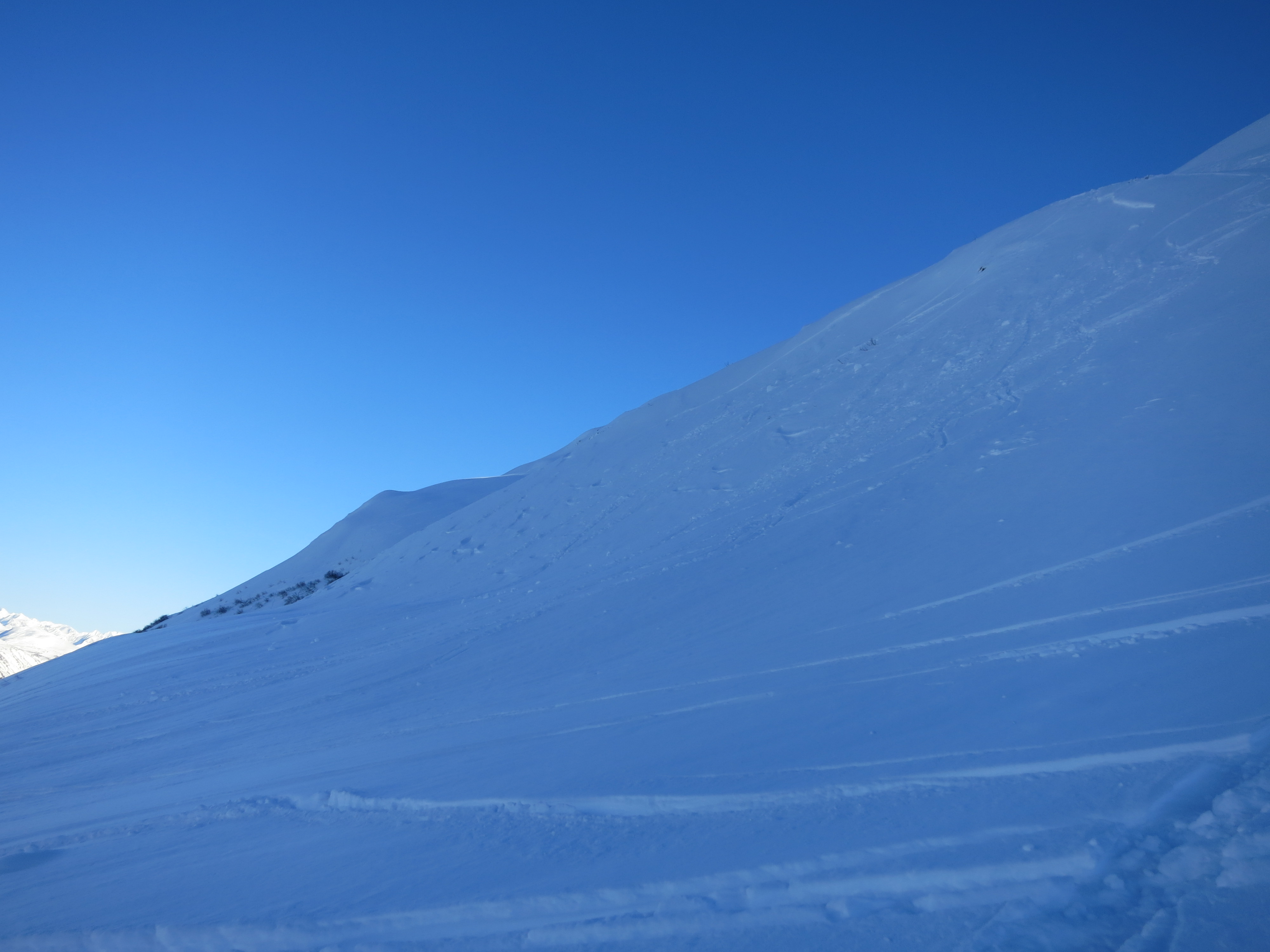
A lot of tracks on Cornbiscuit's W ridge

Looking back towards Grandaddy from Cornbiscuit's S/SW aspect at 3200'. Long running sluffs from ski tracks off Cornbiscuit's ridge
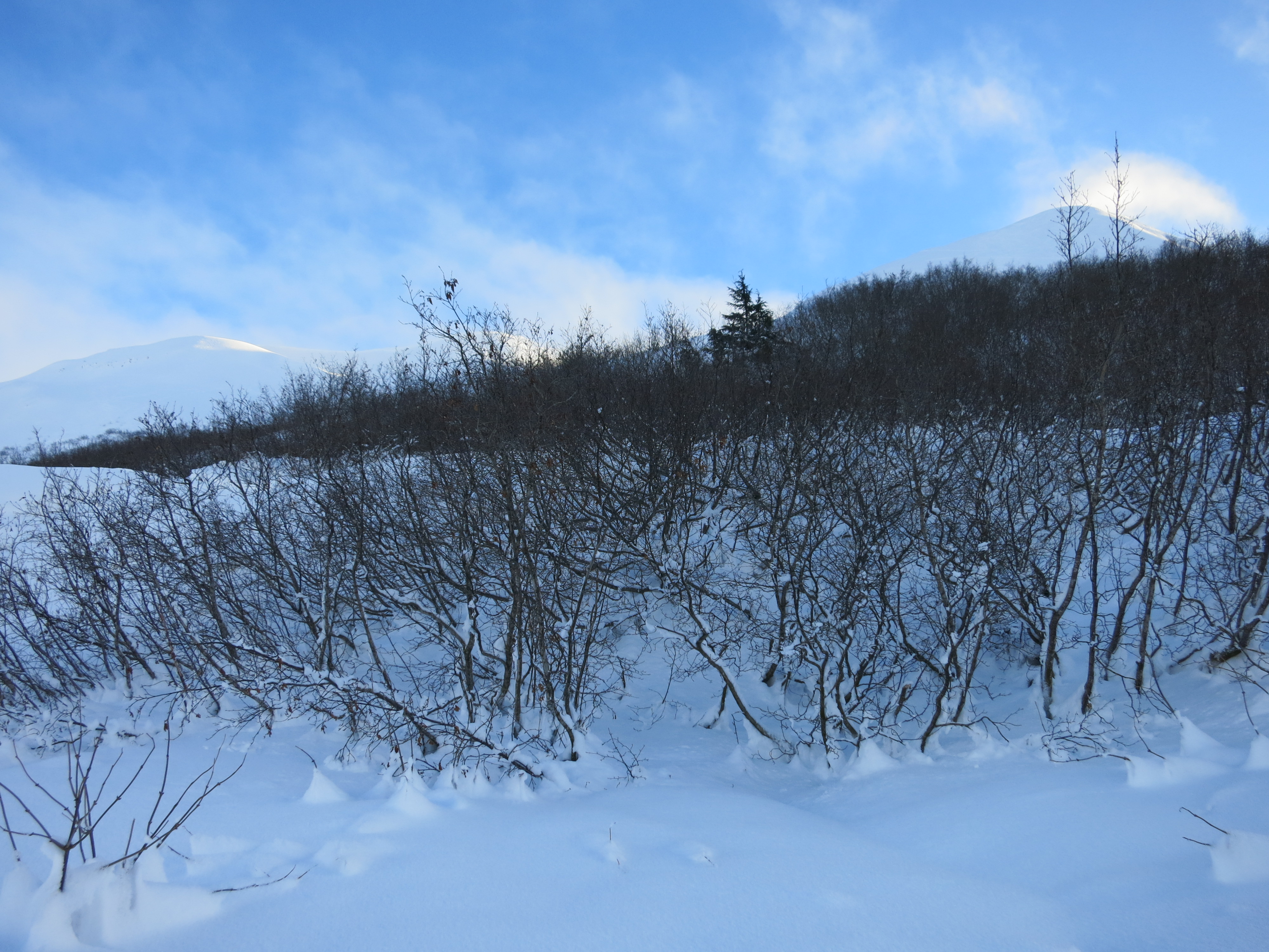
The alders are still thriving
Surface hoar growing at all elevations, ranging from 1 cm at lower elevations to 3 mm in higher elevations.
Old D1 avalanche in a wind affected area on Cornbiscuit off the W ridge that looks to have occurred during or shortly after the last storm.

Impressive settlement cones!

1 cm+ intact surface hoar found under wind slab on a North aspect at 3200' in Pit 1

CT 20 SC and ECTN 13 & 16 down 30 cm on Jan. 21 BSH