| Recent Avalanches? | No |
| Collapsing (Whumphing)? | Yes |
| Cracking (Shooting cracks)? | No |
Observation: Turnagain
Location: Center Ridge Approach
As advertised; warm and wet out there today. Followed the Center Ridge Weather Station skin track up to a likely looking open spot for a pit at 1,430′. Thought I had climbed out of the rain, however the precip type ended up alternating on me while digging the pit and performing tests. At pit location, the new snow seemed to be sticking well to the old snow surface. Visibility was in and out and the light was flat, but for what it’s worth I looked for and did not see any obvious crowns on the north side of Sunburst (sixth photo).
Obvious signs of instability
Observer Comments
Observed a two localized collapses in open flat(ish) areas adjacent to alder patches at 1,400'. Stomped on some nearby micro-features with a bit of slope, but did not get any results.
Weather
Sky: Overcast/Obscured
Wind: Calm to very light from the East-Northeast
Temp: 5 degrees C @ sea level, 3-4 degree C @ 900', 1 degree C @ 1,400'.
Precip.: Definitely raining up to at least 1,100', then mixed rain/snow for another couple hundred vertical feet. At my pit location 1,430' there were alternating periods of mixed rain/snow and just snow at S1. It looked like the true freezing level was just above me at 1,500 - 1,600'.
Snow surface
New snow! Varying in depth and water content with elevation. At 1,000', about 30cm new snow that was wet to very wet. At pit location 1,430', more like 50cm of new snow that was merely moist.
Snowpack
See pit profile for details (seventh photo)
HS: 145cm, 45cm of new snow.
Ski pen.: 40cm, Boot pen.: 95cm
CT25, Q3 @ 98cm (progressive compression of the new snow up until tap 25, second photo). ECTX
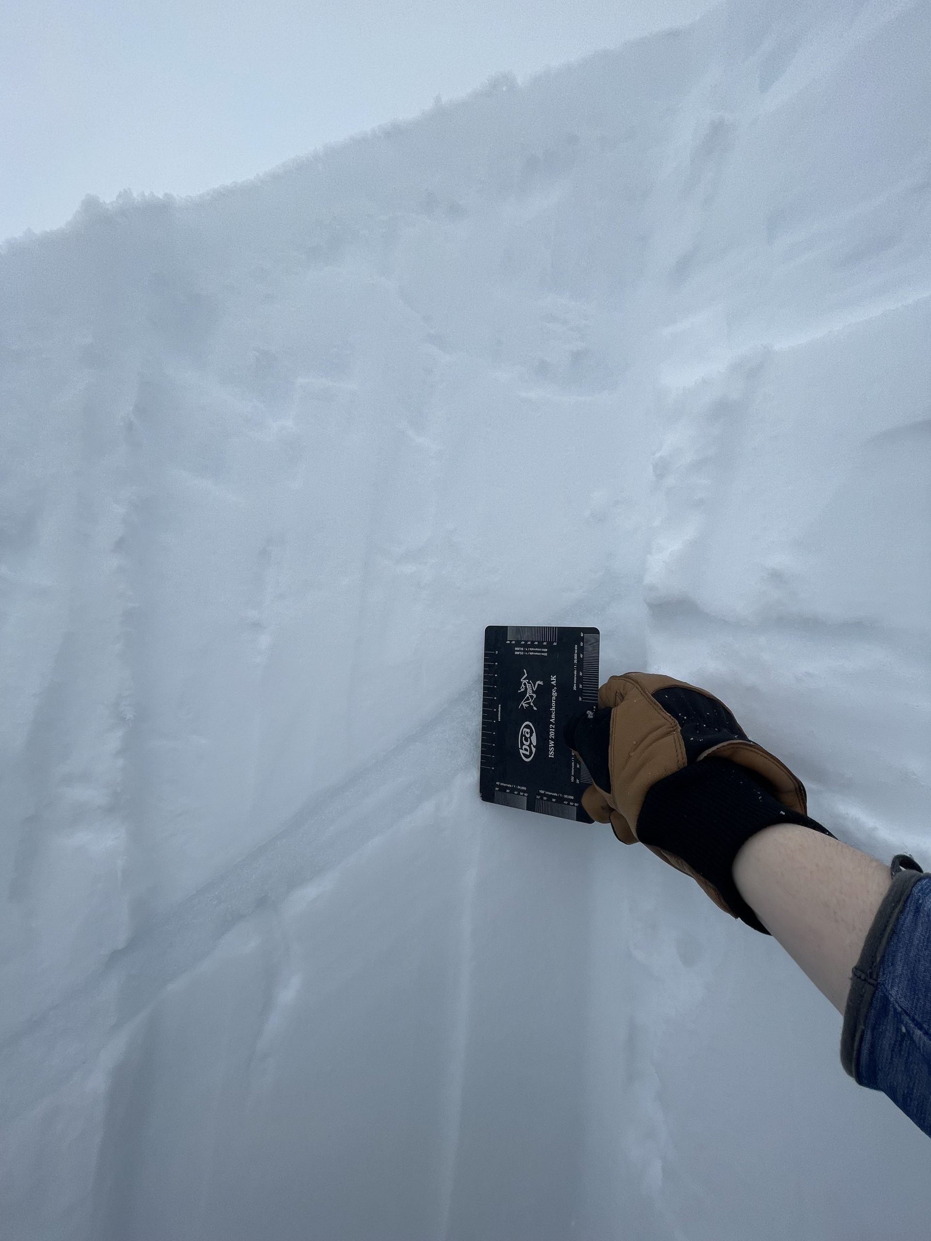
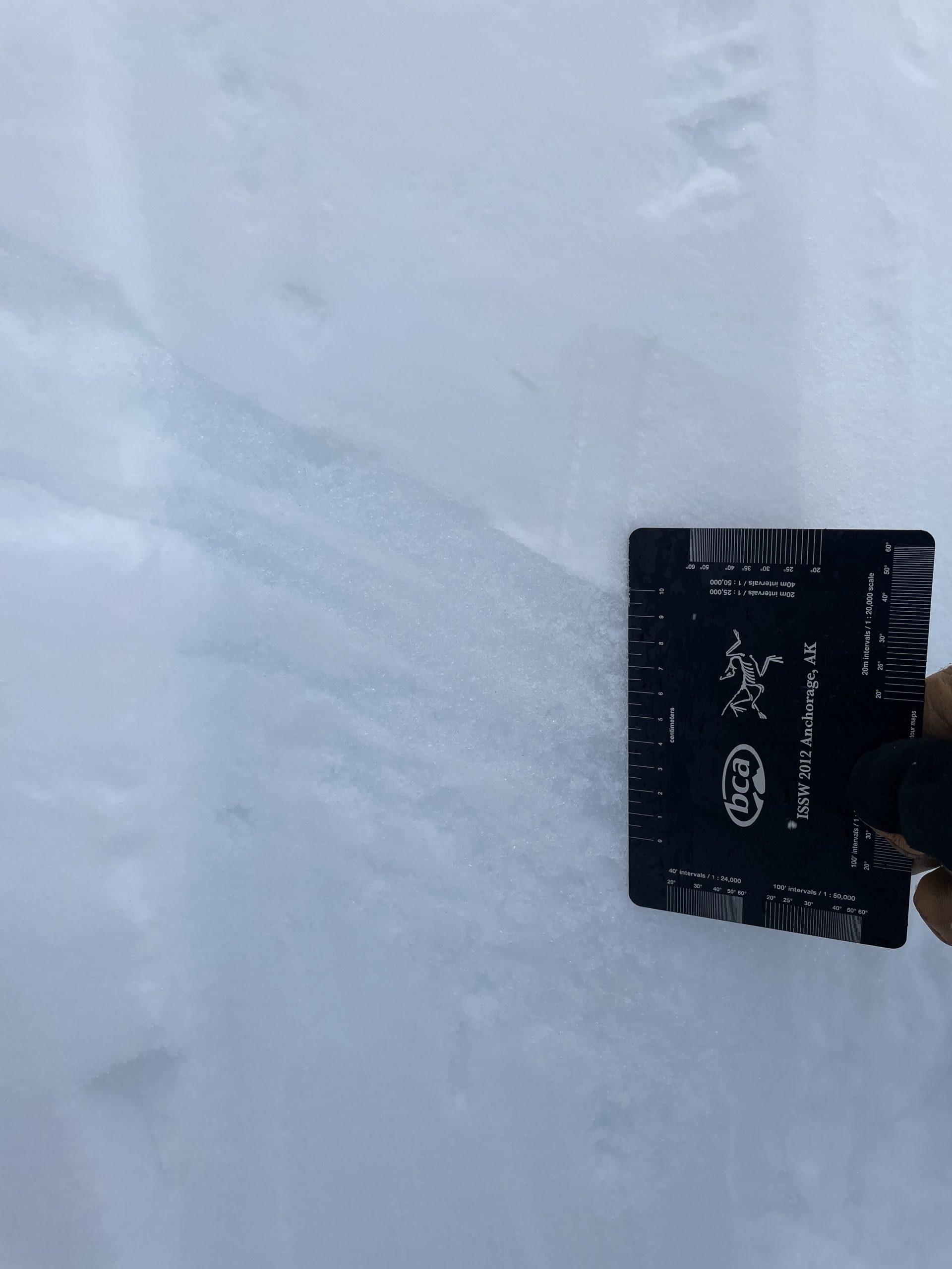
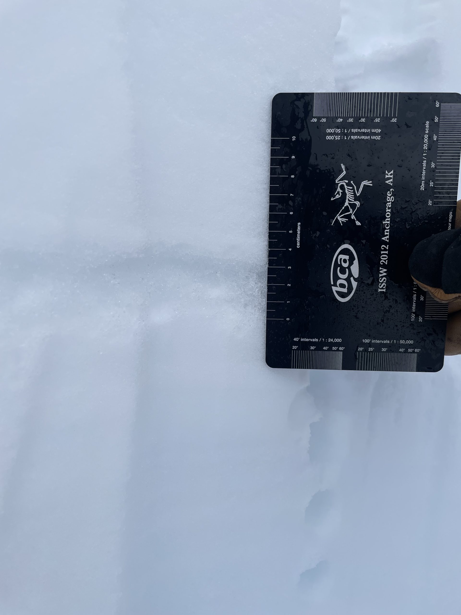
I was particularly interested in the interface / crust layer underlying the new snow, which was @98cm in my pit. Even within my pit, the thickness of this layer varied significantly (photos 3,4,5). This felt like a harder melt-freeze or rain crust at the top, with less hard melt forms immediately underneath and those were what was varying in depth.
My observation at pit elevation of 1,430' was that the new snow was wet enough to stick pretty well to the old snow surface. I expect at higher elevation with drier snow that interface would be more reactive.

Pit Photo

Progressive compression in new snow. CT25, Q3 @98cm.
Crust thickness photo #1
Crust thickness photo #2
Crust thickness photo #3

View of north side of Sunburst from Center Ridge approach.

Snowpit Profile