Testing for new snow instabilities on small test slopes. None found.
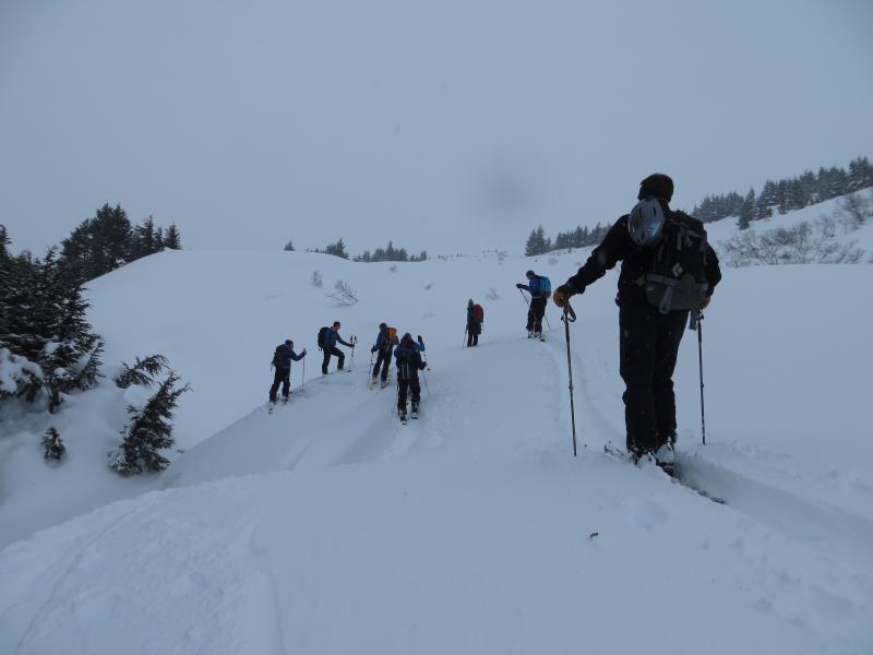
Today, Saturday Feb 9th, was our first non-motorized Observer Training day for
this season. Seven aspiring observers turned out to check on conditions around
the Pass this morning. Thank you for braving the storm day and we look forward
to reading your obs!!
Travel was between 1,000′ to 2,000′ on Center Ridge.
Weather:
Obscured skies, lightly snowing and really blowing… Accumulated only around an
inch during the day. Moderate to strong east wind – 10-20mph in the trees. On
the ridgetops, large plums visible loading west, south and north aspects. Temps
in the 30-32 deg range.
Red Flags:
– Recent avalanches- Seattle Ridge east facing gullies around 2,500’+.
These looked to be shallow wind slabs that entrained a fair amount of snow on the
way down. (very rough estimates 20-50′ x 200-500′ with suspected crown obscured).
– Wind loading- (above and below treeline). Wind was moving snow around and
forming dense drifts 6-14″ deep that were sticking well into place and quite hard
to get to crack. Upper elevations seeing significantly more wind transport.
*No cracking or collapsing seen below 2,000′ but suspect this would have
occurred at higher elevations.
Surface conditions:
4″ of sticky medium density snow (would easily ball up in bindings) sitting on
2-4″ of dryer snow from Thursday. This all sits on a series of crusts up to 2,000′.
Concerns:
Wind slab and storm slab avalanches all related to the 6-12″ of forecasted
totals. The storm only brought 4″. However, upper elevations look have picked up
twice that.
Testing for new snow instabilities on small test slopes. None found.