| Trigger | Skier | Remote Trigger | No |
| Avalanche Type | Dry Loose Snow | Aspect | Northwest |
| Elevation | 5200ft | Slope Angle | 42deg |
| Crown Depth | 4in | Width | 30ft |
| Vertical Run | 125ft |
Avalanche: Hatcher Pass
Location: Cable Valley and Pinnacle
IMB>Cable Valley>Pinnacle West
Obvious signs of instability
| Recent Avalanches? | Yes |
| Collapsing (Whumphing)? | No |
| Cracking (Shooting cracks)? | Yes |
Observer Comments
Cracking was localized and small in newly drifted snow.
We triggered two small to tiny slab avalanches today on steep roll-overs that were recently wind loaded. 6" deep x 5 feet wide x 5 feet vertical.
Weather
Clear, Gusty, Cold.
12:30, -14C at 5500' with variable direction gusts measured at 16kts. Stronger gusts are assumed through the day at similar elevation.
Strong winds this morning though most of the day at upper elevation ridgelines.
The winds significantly relaxed in the late afternoon.
Most of the consistent and steady winds appeared along the outer boundaries of the core forecast area, along the upper elevation ridgelines of the Mat-Su Valley.
From Arkose ridgeline through the Eastern portion of Lone Tree and Tea Cup, we observed steady and widespread plumes along ridge tops. Government also showed consistent, strong, NE winds with visible plumes.
On the interior of the forecast area we observed less consistency with winds, however, strong, sporadic, gusting, with shifting wind directions.
Snow surface
2-4" of new , low density snow from 1/12-13.
No surface hoar observed. We looked carefully as a defined low level cloud band came through our region recently.
We observed small, isolated pockets of fresh wind drifted snow up to 1 foot deep.
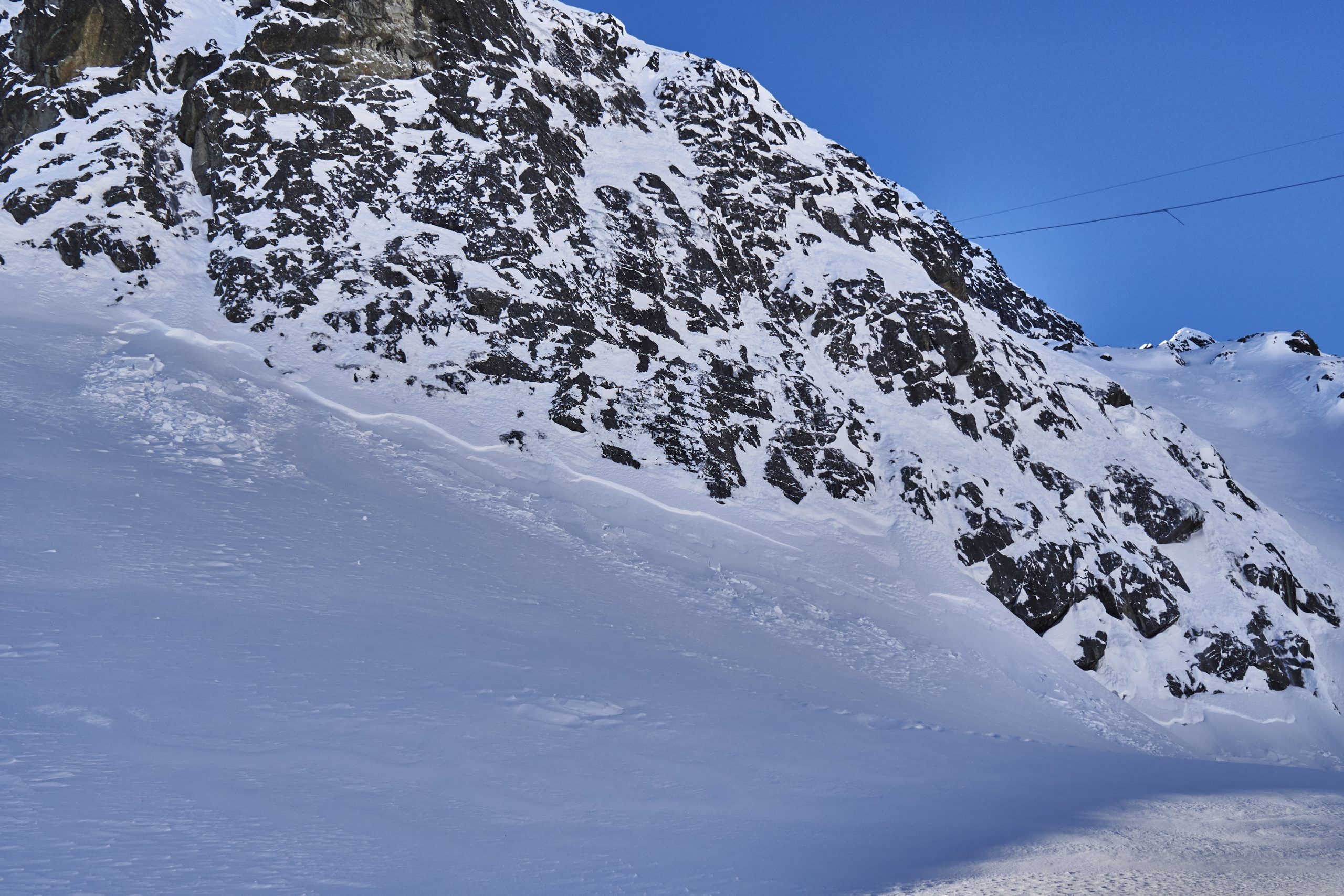
Numerous small (D1) dry loose avalanches, all aspects, mid to upper elevation, both natural and human triggered. We triggered a few dry loose today, medium in size, D1.5, that ran fast on 40 degree+ slopes, approximately 10cm deep X 1-4 meters wide X 30 meters vertical.
Surface sandwich at mid to upper elevation: Approximately 10cm of newer precipitation particles and decomposing fragmented/15cm near surface facets/old wind crust of variable hardness and thickness depending on location/NSF's.
Snowpack
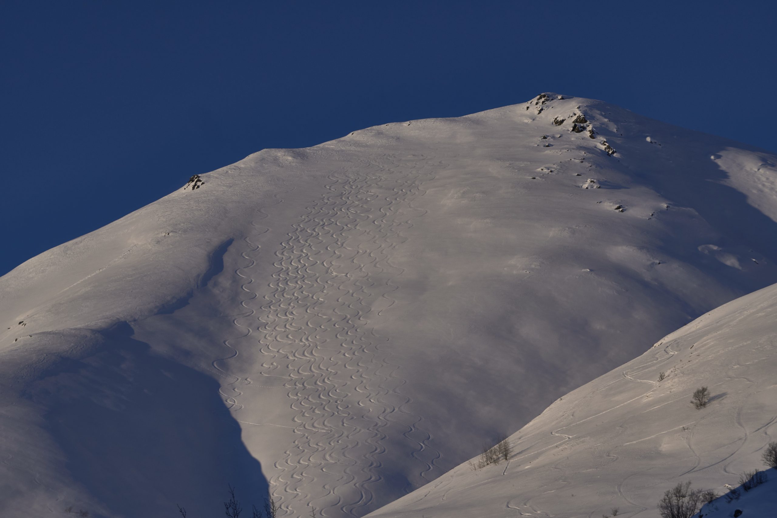
Widespread backcountry traveler activity with minimal slab avalanche results this week. A few, isolated, small persistent slabs and wind slabs were observed.
While winds were changing the surface of the snowpack today, we observed a fairly stagnant and stable snowpack, with small surface instabilities easy to identify and avoid.
Many hand pits identified an instability 1" from the surface that is highly reactive, on decomposing and fragmented snow crystals (no BSH identified after many close looks with a scope) but generally small and isolated. This is something to watch as winds continue to load the snowpack tonight and over the next couple days. Further, the near surface faceting in the upper portion of the snowpack may become reactive when rapidly loaded with any new transported snow, drifts, and wind slabs.

Plumes and wind loading near Government Peak
Marmot, SE side, Small, natural dry loose and small, natural wind slab

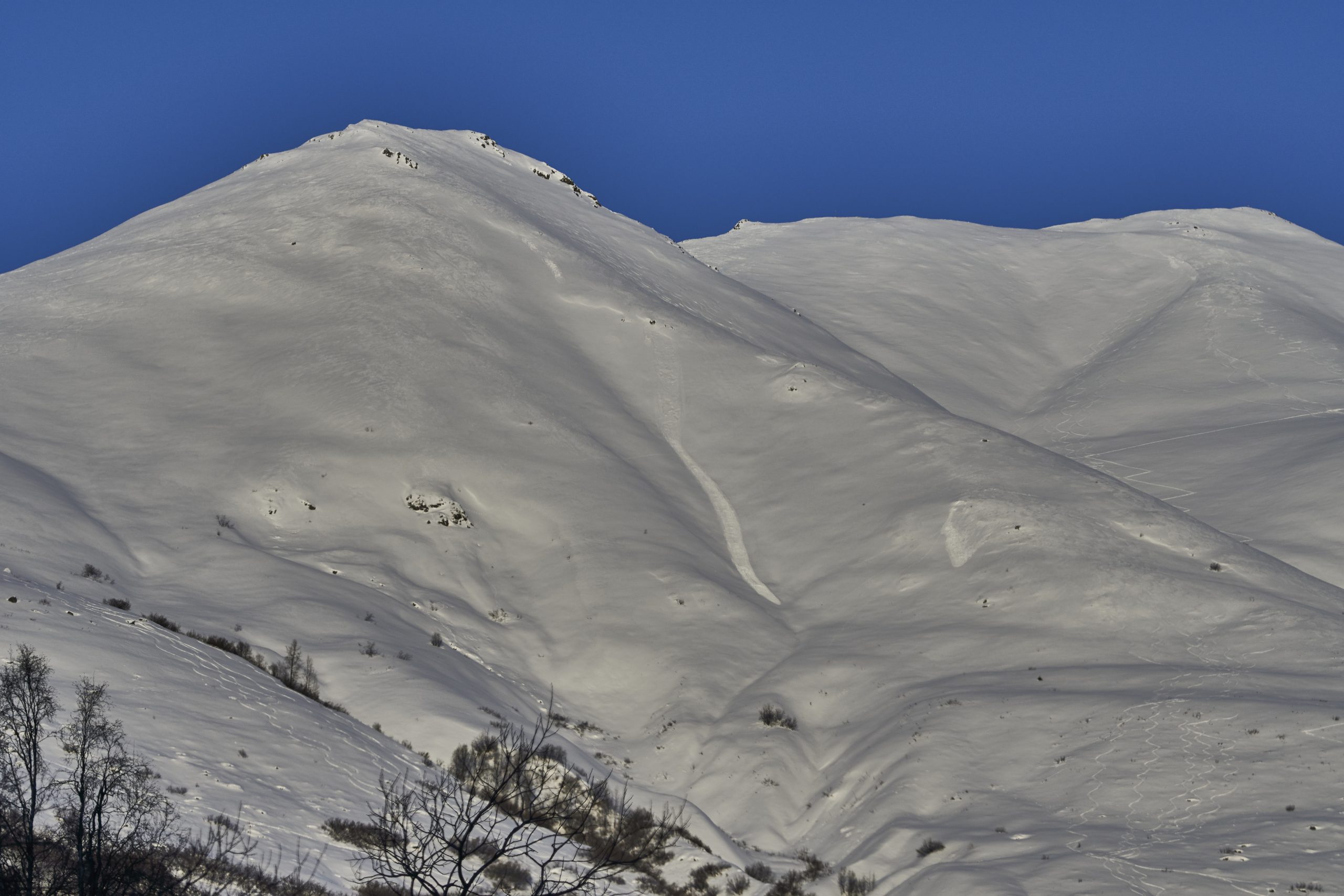
Wind protected areas at mid elevation still have good powder
Marmot Farm, Southeastern side of Marmot

Recent dry loose in Rock Garden, SW, 4700'
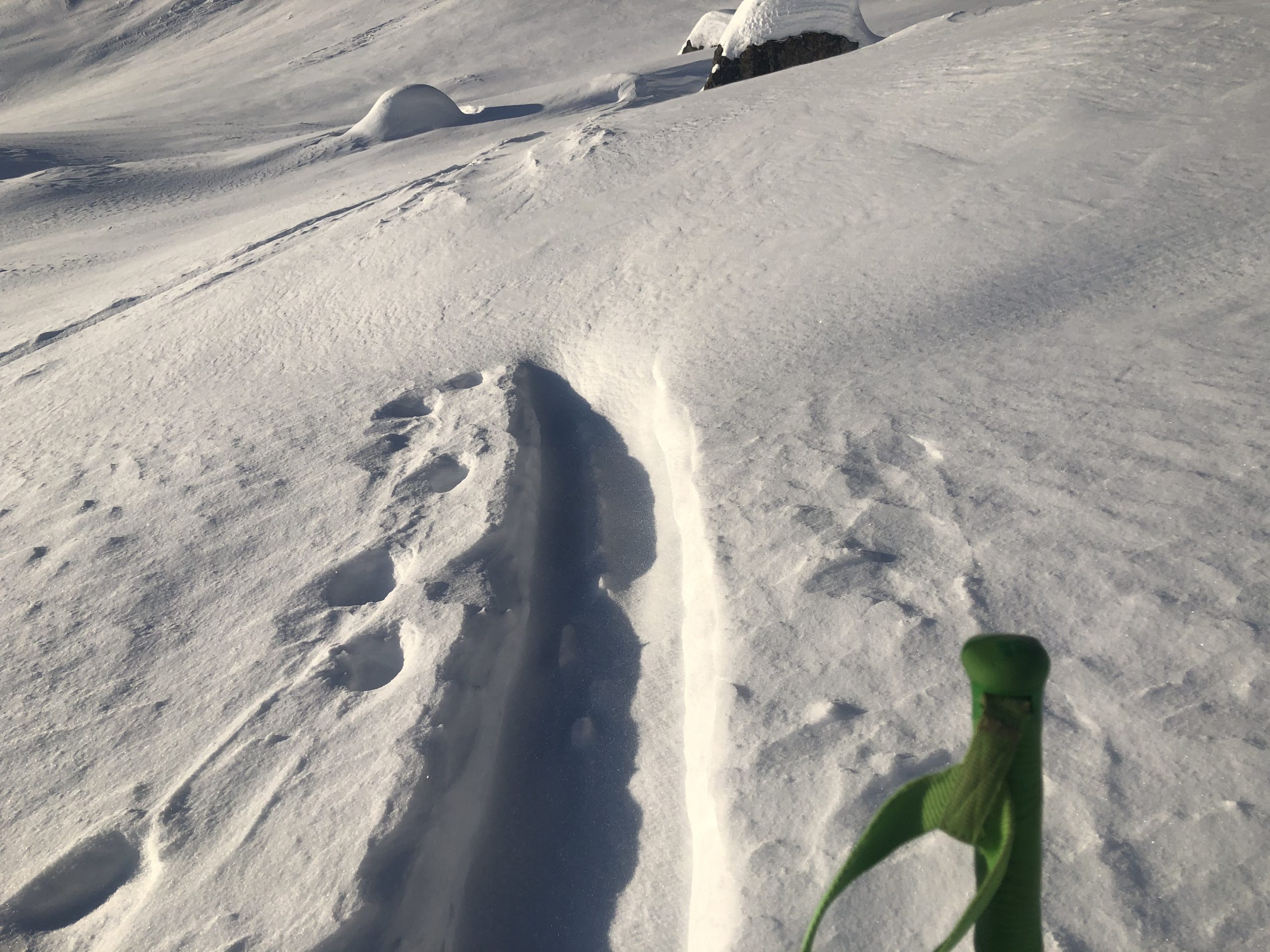
Fresh wind drifted snow
Gold Cord, Cable Valley, NW, 4700'
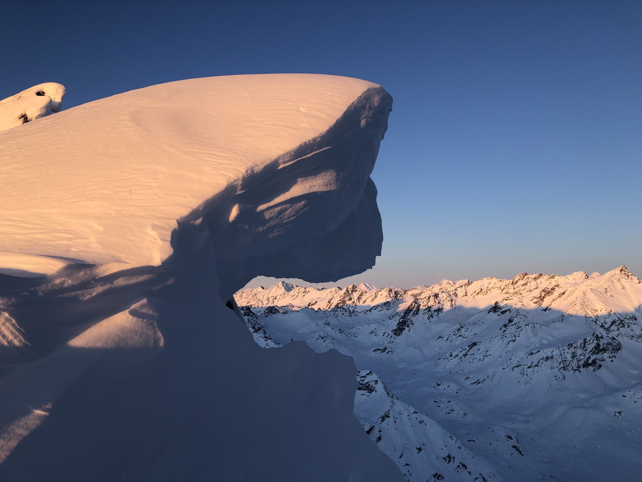
Cornices are big and hungry

Wind loading and plumes near Stair Step