
The large avalanche debris pile that sits in the bottom/middle of the photo is where the ice cave begins once the snowpack melts down enough. Right now it is covered in avalanche debris from this season. Note the significant amount of debris.

A wider angle look at the avalanche terrain that sits above the cave.
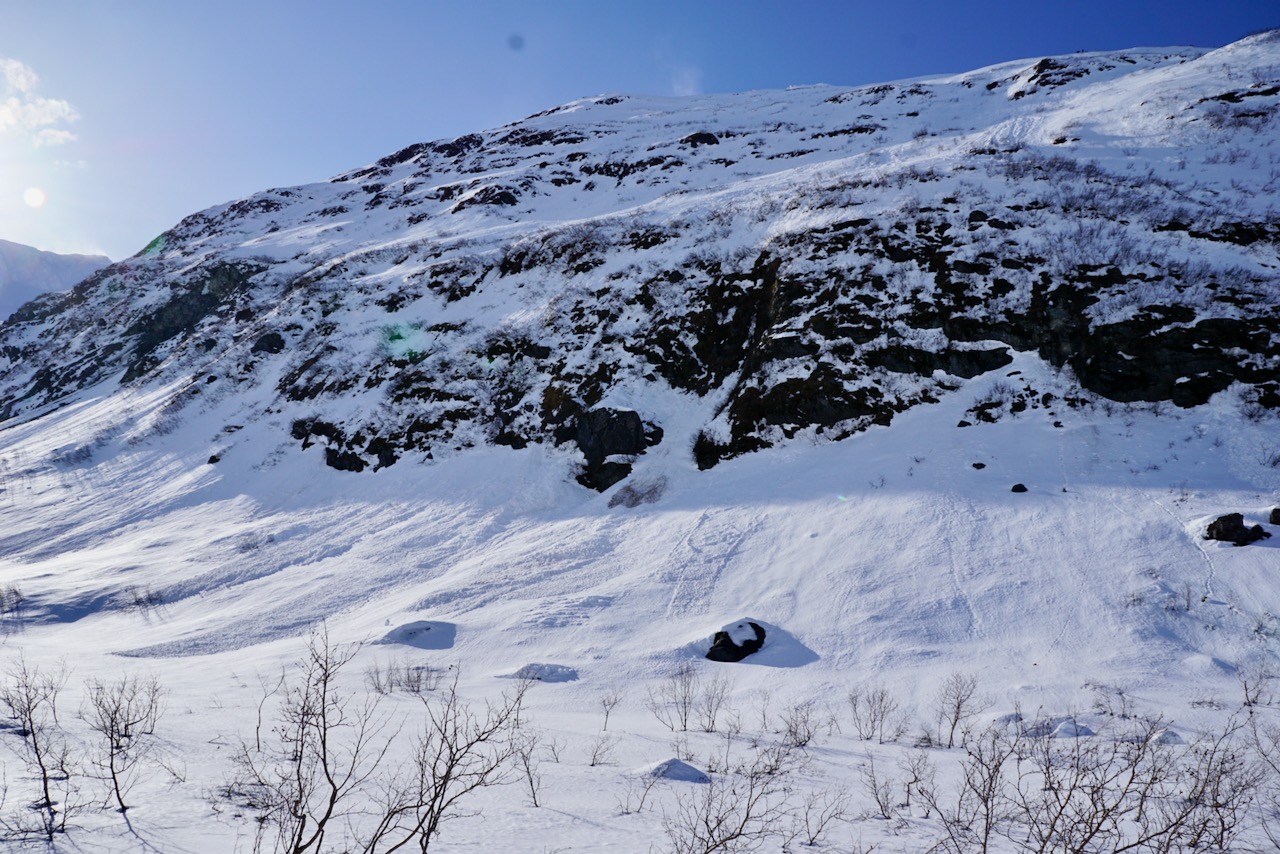
Avalanche terrain that sits on the other side (west side) of the valley that can threaten the Byron Glacier Trail itself.

Another photo looking up drainage taken near the official end of the trail.