| Recent Avalanches? | No |
| Collapsing (Whumphing)? | Yes |
| Cracking (Shooting cracks)? | No |
Observation: Turnagain
Location: Bertha Creek
Tagging along with the Pro 2 course up Bertha Creek today. We hiked up to 2600′, and had some periods with decent enough visibility to get a look at steep terrain on the north side of Lipps, south side of Cornbiscuit, Goldpand, and Grandaddy areas. No signs of new avalanche activity. We were able to get some short cracks and some small chunks of cornice to break on steep wind-loaded test slopes. One group felt a wind slab collapse as they were hiking up the valley.
Obvious signs of instability
Observer Comments
One collapse on a wind-loaded slope around 2500'. This was close to where I dug a pit (see attached profiile), and there were several layers of wind slabs on decomposing precip particles.
Weather
Broken skies, with clouds in and out all day. Visibility was generally improving through the day, but things never really cleared up. Light snow through the day, with only a trace accumulating while we were out. Winds were calm.
Snow surface
Mostly soft surfaces, with increasing variability with elevation. Some stiff wind slabs, some soft wind slabs, some sheltered slopes with around 6" new snow from the past 24 hr. In some places the snow was blown back down to a crust.
Temperatures were warm on our way out, with a transition to moist snow on the surface at around 1500', and drizzle in the parking lot (800') at 2:00 p.m.
Snowpack
Stubborn wind slabs were not doing much on test slopes today. Some cracks were propagating 5-10', and cornices were breaking about a ski width wide stomping on test slopes. The one exception was a collapse at about 2500', not far from the pit location. We did not notice any new avalanche activity while we were out.
Key features from the snowpit (SW aspect, 2200'):
- I dug down 110 cm, then buried a 320 cm probe in the bottom of the pit and still couldn't feel the ground. This was clearly a wind-loaded slope.
- ECTN11, ECTN21 below new and old wind slabs. In both cases the layer that was collapsing was decomposing precip particles.
- 1/25 fog crust was buried 80 cm, with 1F hard snow above and below. It did not fail in the stability tests.
More info in attached profile.
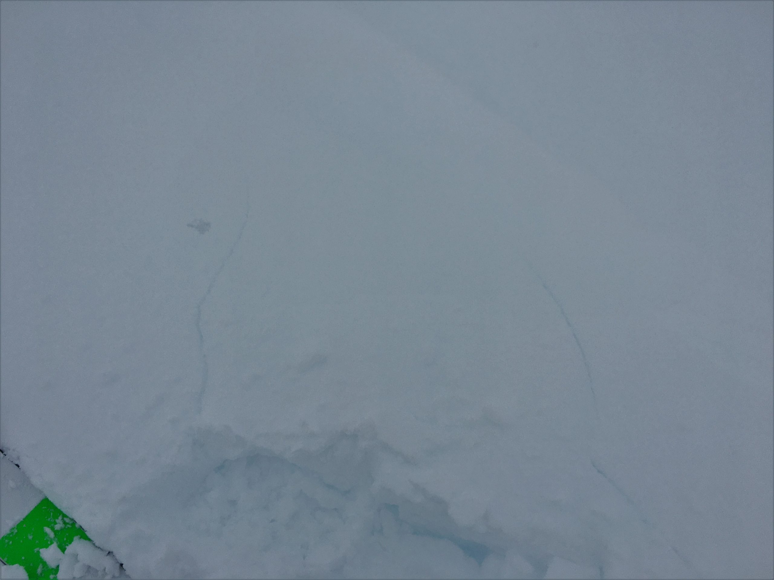
Short shooting cracks above a small but steep test slope. 02.08.2022
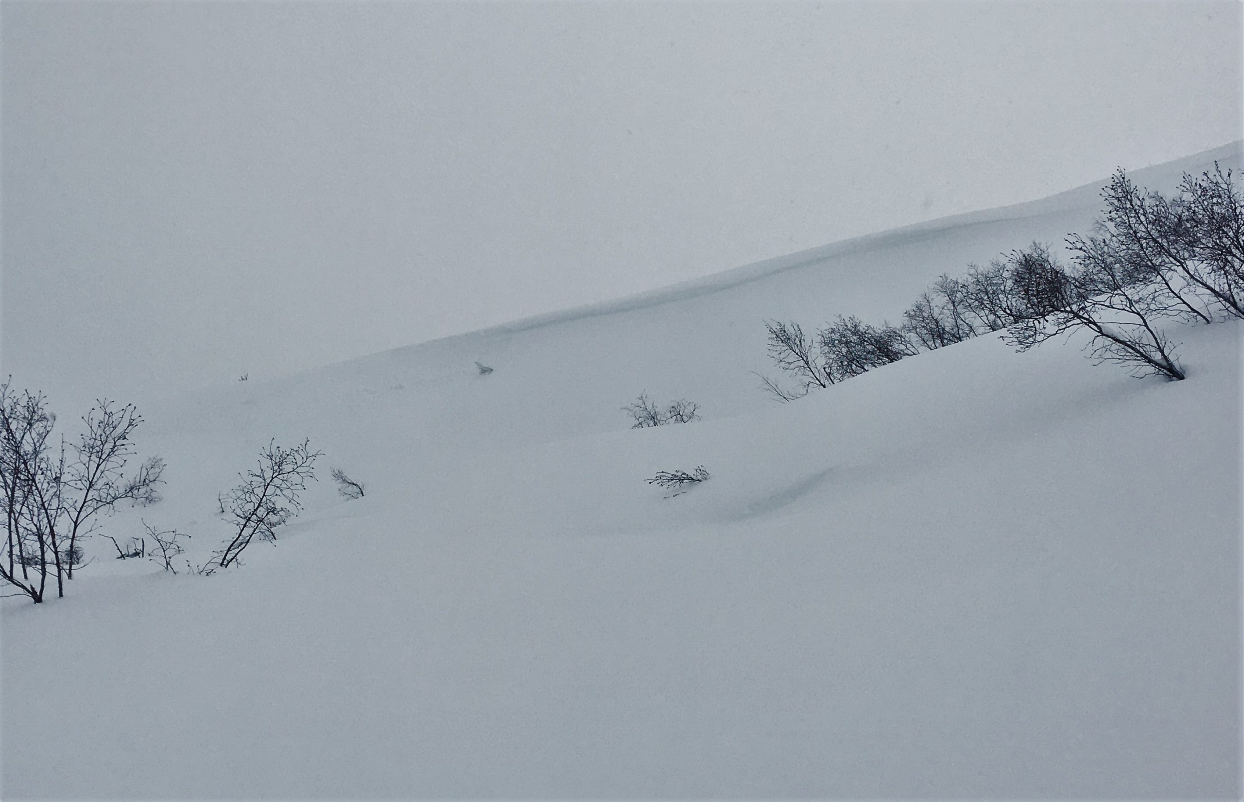
Debris from a small natural cornice failure at alder line on the front side of Cornbiscuit. 02.08.2022
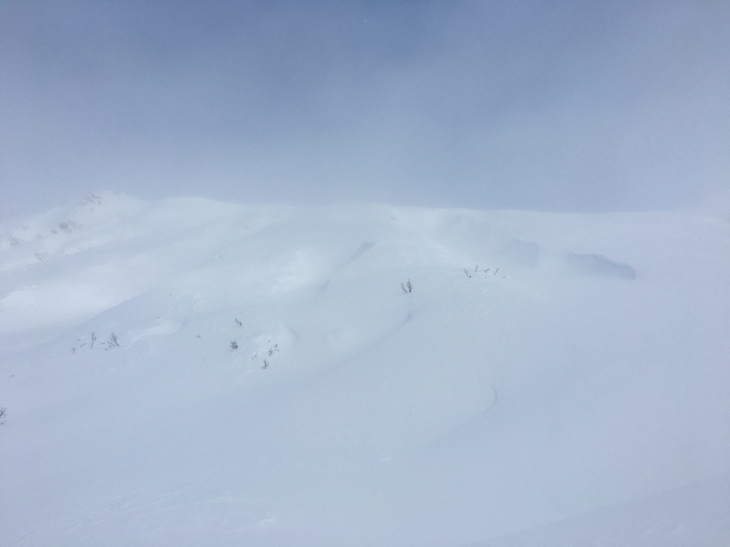
Wind features on the south side of Cornbiscuit. 02.08.2022
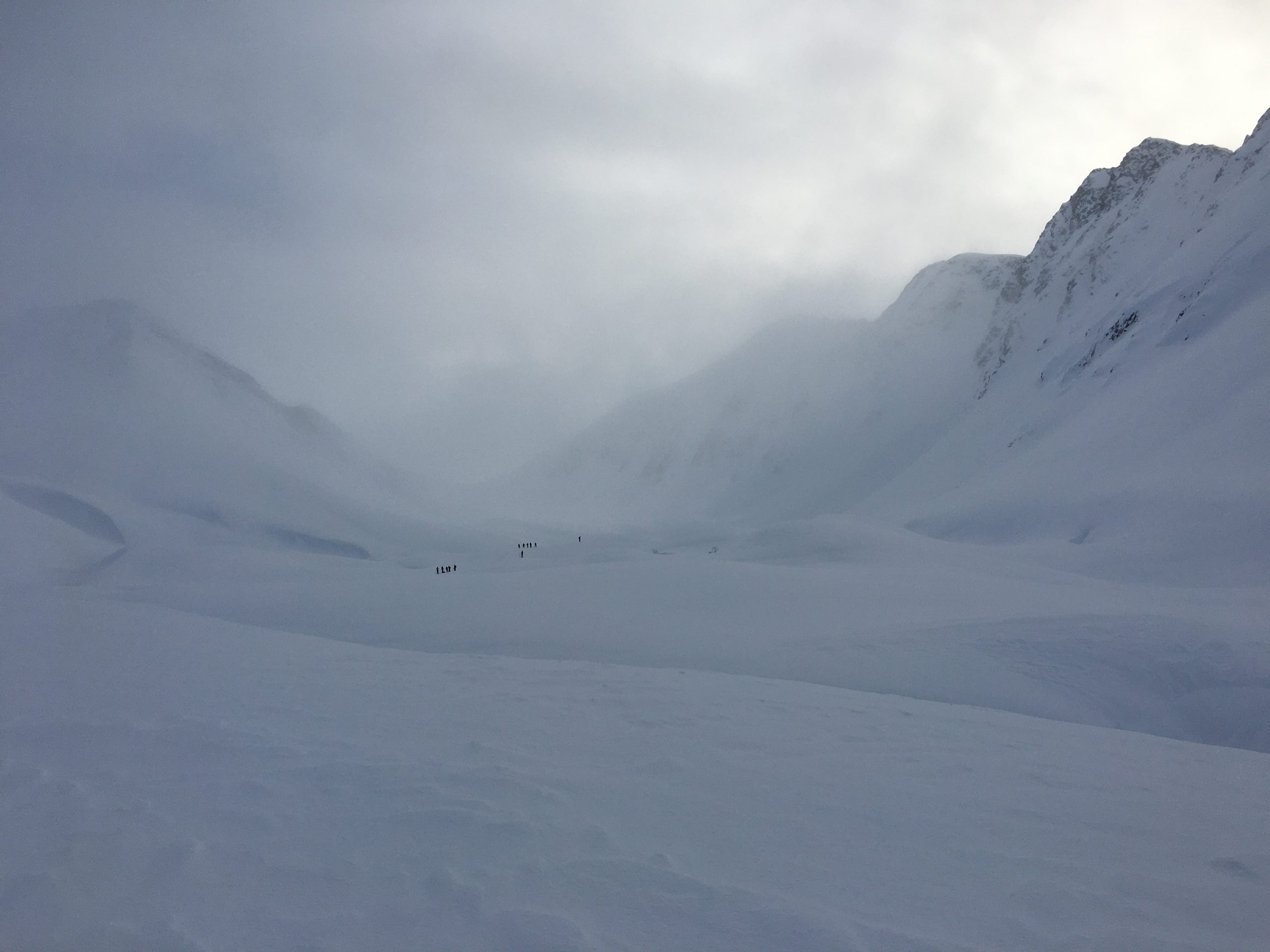
Pro 2 ants walking in some grand terrain. 02.08.2022

The clouds broke long enough to sneak a peek at Goldpan in the afternoon. 02.08.2022
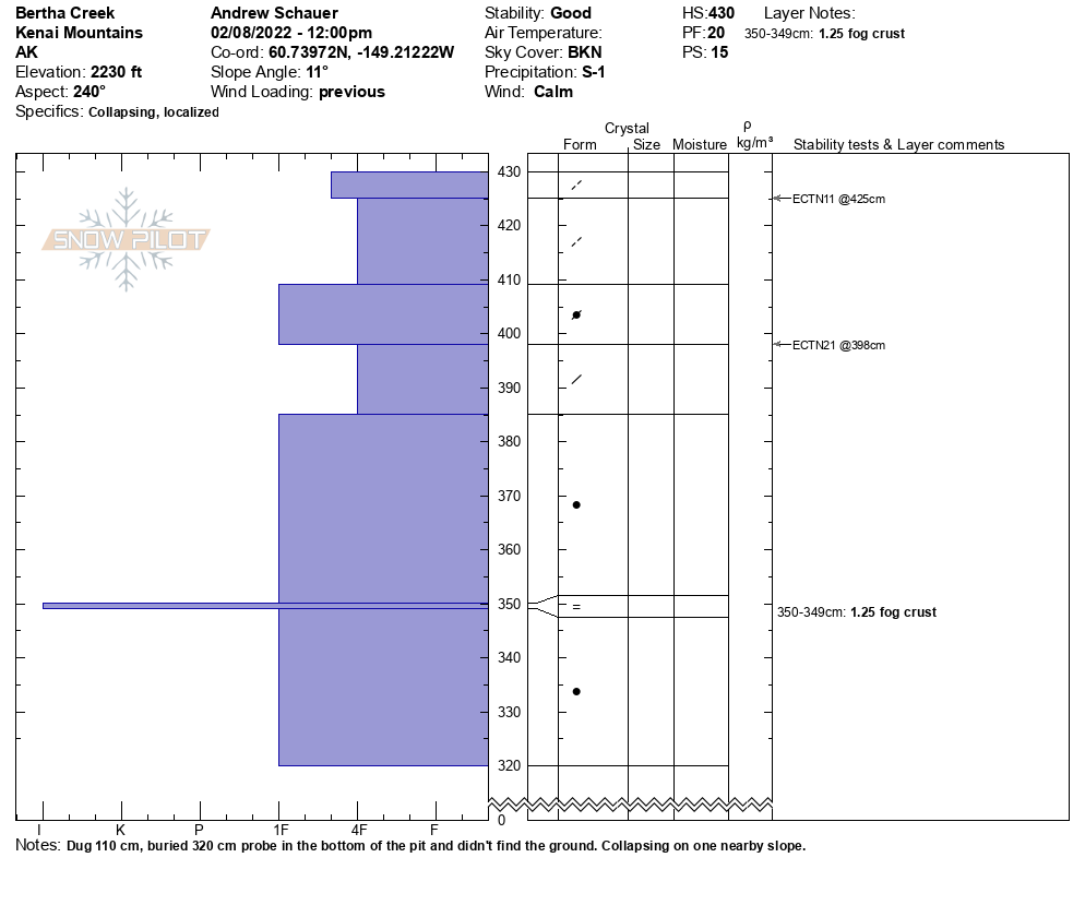
Snowpit profile. SW aspect, 2200'. 02.08.2022