Turnagain Pass
|
|
The avalanche danger is MODERATE across the Advisory area today. Warm temperatures and direct sunshine will make triggering a wet loose avalanche possible on steep, solar aspects. Triggering a large, dangerous slab avalanche in the Alpine is also still possible. Choose terrain carefully. Give cornices and glide cracks a wide berth. Pay attention to changing surface conditions.
PORTAGE VALLEY – Byron Glacier trail. There is a still a chance that direct sunshine and afternoon warming could initiate wet loose avalanches that run to lower elevations or loosen cornices above this terrain. Hiking the summer trail is not recommended.
SUMMIT LAKE (& INTERIOR EASTERN KENAI MTS): The snowpack in this zone is shallow and has many weak layers, with the direct sunshine and warm temperatures human triggered slab avalanches remain possible in upper elevation terrain.
SEWARD/LOST LAKE: Similar to Turnagain – Human triggered avalanches will be possible will today with warm temperatures and direct sunshine. Extra caution especially on steep, solar aspects in the Alpine is recommended.
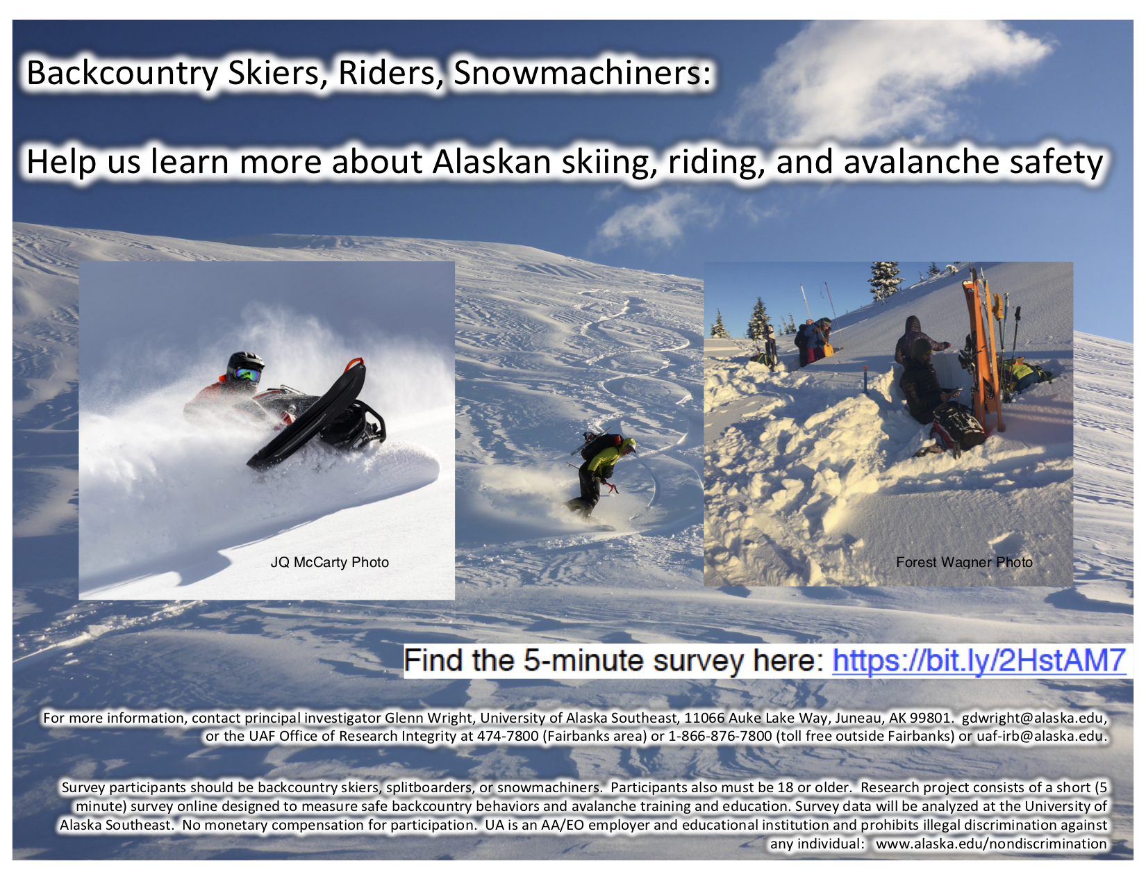
- Got 5 minutes? Take this short survey that is investigating who, how and where Alaskans travel in the backcountry. Project lead by University of Alaska Southeast – more details HERE.
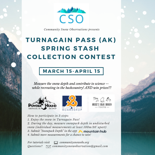
- Help track snow depth and WIN PRIZES too! The Turnagain Pass Spring Stash Collection Contest ends April 15th and the community needs your help!
- The Friends of the Chugach National Forest Avalanche Center is an official Pick. Click. Give. organization. When you apply for your PFD please consider supporting your public avalanche center. We rely heavily on your contributions, which provides not only weather stations and daily forecasts but a host of other public avalanche services. Thank you to all of our donors past, present and future!


