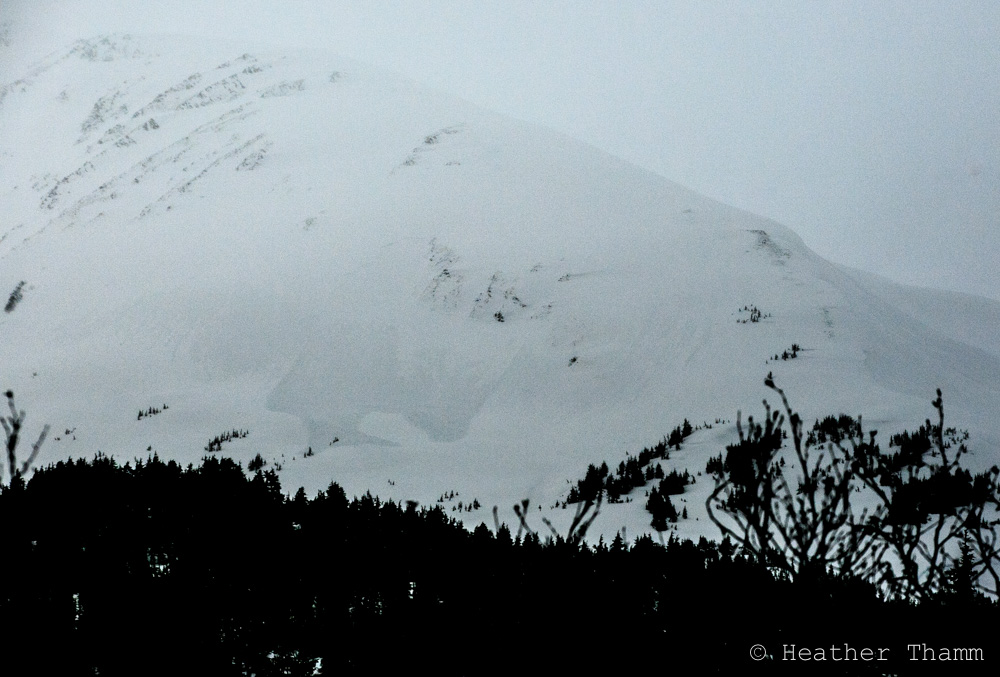
SPRINGTIME AVALANCHE TIPS – Timing and observations are crucial! This transition time can have unique and sometimes hazardous snowpack characteristics. Ask yourself these questions: Am I dealing with winter snow (cold and dry) or spring/summer snow (wet, warm and/or refrozen)? Or is it some combination? What weather factors have affected to snowpack today and recently?
Remember the Red Flags that indicate instability!
Are there recent avalanches? What kind?
Cracking? Collapsing?
New snow? Rain?
Wind loading?
Rapid Warming? Did it freeze last night? How deep are you sinking in?
While many people may have written off winter and have transitioned to summertime activities, there is still plenty of snow higher in the mountains. On any given day conditions can range from warm and sunny t-shirt weather, to pouring rain, to cold & snowy mid winter conditions. Being able to recognize and respond to specific avalanche concerns is key in making effective decisions in avalanche terrain.
Glide Avalanches: This has been the season of glides. They continue to release on all aspects and elevations up to 3,000′ (although there are a few scattered at the high elevations). These are unpredictable and can be quite dangerous! Avoid travel under existing glide cracks and watch for new ones forming.
Below is Seattle Ridge – left picture is from mid-April and right is of the same slope two weeks later, end of April. A legitimate ‘glide-mess’!


Storm Snow: It is still possible to get significant snowfall this time of year. Pay attention to how much new snow has fallen and what surface it is sitting on. Is there a foot of new snow sitting on a crust? Even without a persistent weak layer between the slab and the bed surface, it is still possible to trigger dangerous slab avalanches. These storms slab may also be tender and reactive right as they start to warm in the spring sun or with a rapid temperature rise.

Wind slab: It is also important to continue to pay attention to wind direction and loading patterns. New snow can quickly be loaded on leeward slopes and form touchy wind slabs. Look for areas of pillowed snow and watch for cracking. Like storm snow, wind slabs can be tender with the first warmup after the loading event.

Loose Snow Avalanches: Both dry and wet loose avalanches are common springtime avalanche concerns. Pay close attention in steep terrain, especially when the sun first hits freshly fallen snow. Remember loose avalanches can be particularly hazardous if they push you into a terrain trap.

Cornices: Many slopes have large cornices looming above them. Knowing exactly what will tip the scales is difficult. To date we have yet to see a wide spread natural cornice fall cycle. Some factors that contribute to cornice fall are sun, heat, and new snow with wind. Give cornices a wide berth and take measures to minimize your exposure beneath them. Remember they have a tendency to break much further back than expected.

Wet Slab Avalanches: Wet slab avalanches are also a possibility this time of year. A combination of a slab, weak layer and water percolating into the weak layer is what is needed for this type of avalanche to occur. This set-up maybe possible in the higher elevations or after a storm deposits a new slab and rain or sun sends water down into the snowpack.
Below are some ways to both anticipate and deal with the above mentioned avalanche concerns:
• Watch for the “shed cycle” in the higher elevations. One great way is to keep an eye on the ridgetop weather stations (click HERE). Avalanche activity often follows multiple consecutive days (usually 3) of above freezing overnight temperatures. Careful route planning to stay out from under slopes with wet and rotten snow is essential during this period.
• Once the snow has undergone the transition to a summertime pack and is freezing at night and warming during the day (the corn season), hitting the slopes early and getting off them when they become too sloppy is critical.
• Damp or wet snow more than 6″ deep is a sign that it’s time to exit the area. Following the aspects as the sun heats up the slopes over the course of the day, East to South then West, can make for great riding/skiing days ending in sunny tailgating. North slopes may still have winter like conditions.
• Keep in mind, cloud cover ‘holds in the heat’ and can dramatically limit overnight refreezing. A shallow to no refreeze will not only give daytime heating a jump start on weakening the pack, but can produce less than stellar riding conditions.
• Beware of warm storms where rain is falling on snow, especially when rain is falling on cold dry snow. This can quickly increase the avalanche danger. €¨
• Stay off of CORNICES. When approaching from the side or above, make sure you can see where the cornice ends and the underlying terrain begins. If you can’t see that transition area, move away from the edge. If you find you and your group below cornices, expose only one person at a time and move efficiently through those areas.
• Lastly, don’t forget to plan your route back to the car. Does it take you under slopes that were frozen and safe earlier in the day, but now have been cooking in the sun waiting to slide on your return? Under cornices? Under glide cracks?
Checking boot penetration…

Thank you for reading and have a safe spring in the backcountry!
