Turnagain Pass RSS

Archives
ARCHIVED - Forecasts expire after 24 hours.
Issued
Tue, January 19th, 2016 - 7:00AM
Expires
Wed, January 20th, 2016 - 7:00AM
Forecaster
Graham Predeger
Avalanche risk The Bottom Line

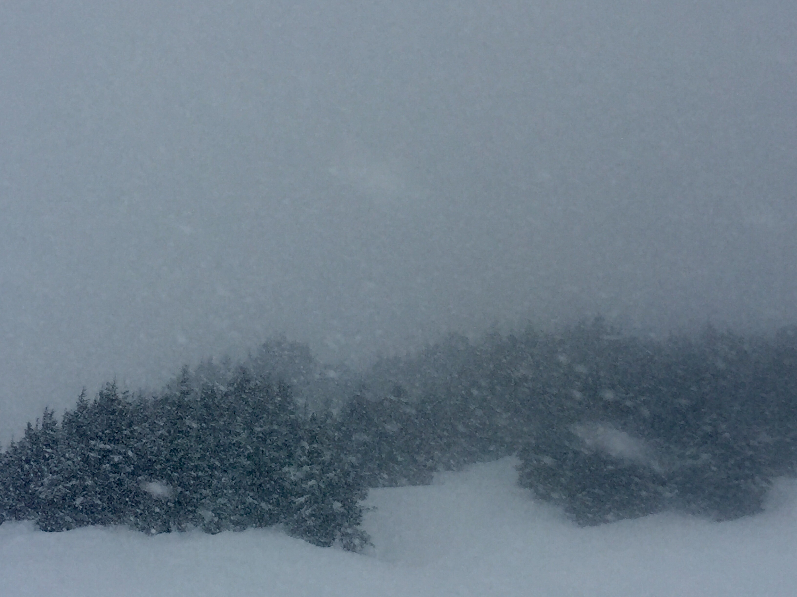
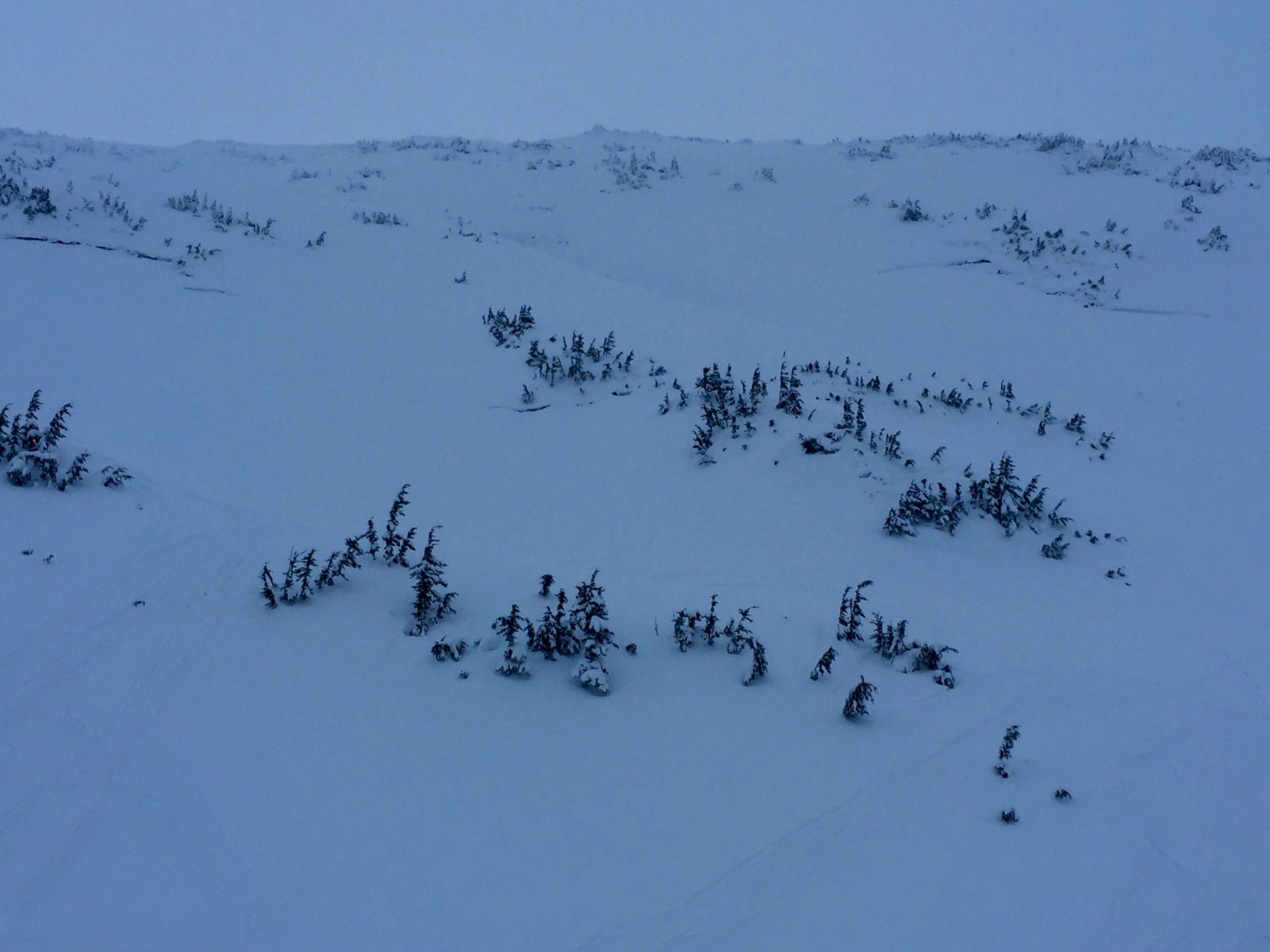
The avalanche danger is MODERATE at and above treeline today where fresh wind slabs have formed yesterday afternoon/ overnight with the approach of a quick but intense burst of heavy snow and moderate easterly winds.   These will be possible for a person to trigger, specifically in steep, wind-loaded terrain above treeline.  Wind slabs are expected to be in the 12-18 € range.   In the mid-elevation band (at treeline), glide cracks continue to pose a significant threat.   Limiting or avoiding your time spent under glide cracks will be your best bet to mitigate this particular avalanche problem.

Tue, January 19th, 2016
Alpine
Above 2,500'
2 - Moderate
Avalanche risk
Treeline
1,000'-2,500'
2 - Moderate
Avalanche risk
Below Treeline
Below 1,000'
1 - Low
Avalanche risk
0 - No Rating
1 - Low
2 - Moderate
3 - Considerable
4 - High
5 - Extreme
Avalanche risk Avalanche risk Avalanche risk Avalanche risk Avalanche risk
Travel Advice Generally safe avalanche conditions. Watch for unstable snow on isolated terrain features. Heightened avalanche conditions on specific terrain features. Evaluate snow and terrain carefully; identify features of concern. Dangerous avalanche conditions. Careful snowpack evaluation, cautious route-finding, and conservative decision-making essential. Very dangerous avalanche conditions. Travel in avalanche terrain not recommended. Extraordinarily dangerous avalanche conditions. Avoid all avalanche terrain.
Likelihood of Avalanches Natural and human-triggered avalanches unlikely. Natural avalanches unlikely; human-triggered avalanches possible. Natural avalanches possible; human-triggered avalanches likely. Natural avalanches likely; human-triggered avalanches very likely. Natural and human-triggered avalanches certain.
Avalanche Size and Distribution Small avalanches in isolated areas or extreme terrain. Small avalanches in specific areas; or large avalanches in isolated areas. Small avalanches in many areas; or large avalanches in specific areas; or very large avalanches in isolated areas. Large avalanches in many areas; or very large avalanches in specific areas. Very large avalanches in many areas.
Avalanche Problem 1
  • Wind Slabs
    Wind Slabs
Wind Slabs
Wind Slab avalanches are the release of a cohesive layer of snow (a slab) formed by the wind. Wind typically transports snow from the upwind sides of terrain features and deposits snow on the downwind side. Wind slabs are often smooth and rounded and sometimes sound hollow, and can range from soft to hard. Wind slabs that form over a persistent weak layer (surface hoar, depth hoar, or near-surface facets) may be termed Persistent Slabs or may develop into Persistent Slabs.
More info at Avalanche.org

Yesterday afternoon/ evening ushered in a quick 8-hour period of intense snowfall in the Turnagain pass area where we picked up around 6” of new snow.  Snow fell in earnest above about 300’ as ridgetop winds kicked up from the northeast.  This new snow in addition to 6-8” of low-density snow from Saturday afternoon/ Sunday morning is enough to build shallow but tender wind slabs on steep, leeward slopes.  Expect wind slabs to be in the 12-18” range and may prove easy to trigger in the alpine.  Above treeline, slopes greater than 35 degrees with a south or west facing tilt will be most suspect today.  How this new snow/ fresh wind slabs bond to yesterday’s surface will be key to watch for and can be sussed out by utilizing quick hand pits or small (no consequence) test slopes. 

At and below treeline, the wind is playing less of a role on this new fallen snow.  Expect yesterday afternoon’s storm snow to settle out quickly.  There may be a few point releases or some roller ball activity in this elevation band but the greater concern will be glide avalanches (more on that below).

Snowfall rates were intense (1″/ hour) toward the end of the day at Turnagain Pass yesterday.  Rain/ snow line hovered around 300′ with a rain/ snow mix at sea level.

Avalanche Problem 2
  • Glide Avalanches
    Glide Avalanches
Glide Avalanches
Glide Avalanches are the release of the entire snow cover as a result of gliding over the ground. Glide avalanches can be composed of wet, moist, or almost entirely dry snow. They typically occur in very specific paths, where the slope is steep enough and the ground surface is relatively smooth. They are often proceeded by full depth cracks (glide cracks), though the time between the appearance of a crack and an avalanche can vary between seconds and months. Glide avalanches are unlikely to be triggered by a person, are nearly impossible to forecast, and thus pose a hazard that is extremely difficult to manage.
More info at Avalanche.org

After several days of glide cracks releasing in the Turnagain Pass zone – some of which are ‘front and center’ on Seattle Ridge and visible from the motorized parking lot, we did not see any signs of new glide avalanche releases yesterday. With a fresh dusting of snow though, these cracks are becoming harder to spot as they fill in with new snow. 

Glide avalanches, though spooky are a pretty easy avalanche problem to mitigate.  Simple avoidance and limiting your exposure to these large cracks is key. Map out any notable glide cracks from a good vantage that may affect your route, and pick a track that minimizes time spent underneath these.  Though the probability is low that a glide will fail with someone on the slope, the consequences remain dire.  Recent glide avalanches have been quite large and almost always take the entirety of the snowpack (to the dirt) out as they fail.  This is evidenced in the dirty debris piles left behind.

Glide cracks can be seen on all aspects in the mid-elevation band (1500-2500′). Here, 3 separate glide cracks litter an E facing slope in Main bowl. Note: With yesterday’s 6″ of new snow, many of these cracks may be ‘dusted over’ and much harder to see now.

Weather
Tue, January 19th, 2016

Yesterday started out mostly clear in the morning above about 400′.   Valley fog persisted throughout most of the day around Turnagain arm, Girdwood and Portage Valley where colder air was pooling.   Meanwhile, ridgetop temps were nearing the 32 degree mark at 3800′ (Sunburst).   Winds were light from the East picking up around 3pm (30’s mph with gusts in the 50’s) as a weakening low pressure system rolled through the advisory area.   Clouds were on the increase throughout the day and snow began falling around 3pm.  Snowfall tapered off before midnight with about 6″ falling at the Pass and a rain/ snow mix below 300′.  

Today we can expect mild weather during the daylight hours with temps in the mid-30’s at 1,000′ and ridgetop winds less than 20 mph.   We may ring just a trace of precip out of some departing clouds this morning, but don’t expect it to amount to much.  

Tonight and into tomorrow morning looks to be almost a carbon copy of yesterday afternoon’s short but intense burst of snowfall meaning we may wake up to a few more inches of snow in favored areas such as Turnagain pass by Wednesday morning.  

PRECIPITATION 24-hour data (6am – 6am)

  Temp Avg (F) Snow (in) Water (in) Snow Depth (in)
Center Ridge (1880′) 32    6  .5 87  
Summit Lake (1400′) 31   0    .1  26
Alyeska Mid (1700′) 33    3  .6  66

RIDGETOP 24-hour data (6am – 6am)

  Temp Avg (F) Wind Dir Wind Avg (mph) Wind Gust (mph)
Sunburst (3812′)  27  ENE  18 57  
Seattle Ridge (2400′)  29  N/A N/A   N/A  
Observations
Recent Observations for Turnagain Pass
Date Region Location
04/21/24 Turnagain Observation: Bertha Creek
04/20/24 Turnagain Avalanche: Spokane Creek
04/16/24 Turnagain Observation: Cornbiscuit
04/15/24 Turnagain Observation: Taylor Pass
04/15/24 Turnagain Observation: Seward Highway – Tern Lake to Portage
04/14/24 Turnagain Observation: Sunburst
04/14/24 Turnagain Observation: Turnagain Pass Snomo
04/13/24 Turnagain Observation: Spokane Creek
04/11/24 Turnagain Observation: Tincan
04/10/24 Turnagain Avalanche: Seattle Ridge
Riding Areas

The riding areas page has moved. Please click here & update your bookmarks.


Subscribe to Turnagain Pass
Avalanche Forecast by Email

This is a general backcountry avalanche advisory issued for Turnagain Arm with Turnagain Pass as the core advisory area. This advisory does not apply to highways, railroads or operating ski areas.