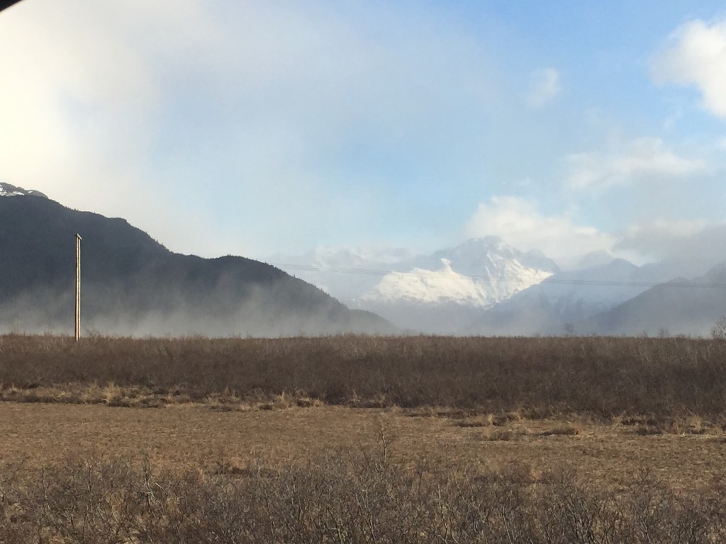
Turnagain Pass RSS

Archives
ARCHIVED - Forecasts expire after 24 hours.
Issued
Tue, March 10th, 2015 - 7:00AM
Expires
Wed, March 11th, 2015 - 7:00AM
Forecaster
Graham Predeger
Avalanche risk The Bottom Line

Pockets of MODERATE danger exist in the alpine today for a skier to trigger a wind slab 1-2′ deep on steep, wind-loaded terrain and cross-loaded gullies.   Loose snow avalanches (sluffing) should also be expected and prove manageable if skiing in steeper, wind-sheltered terrain.  

Below treeline, the danger is LOW and an avalanche is unlikely, as cooling temps have acted to lock up what snow we do have beneath the alder line.

Special Announcements

Join us this Thursday evening in downtown Anchorage for the Alaska Premiere of The Unrideables, a film highlighting speed-flying in the Alaska range!  Doors open at 7:00pm and showtime is at 7:30pm.  All ages are welcome!  Tickets available at  http://alaskapac.centertix.net/eventperformances.asp?evt=1451

This fun evening event will benefit the Friends of the Chugach National Forest Avalanche Information Center and the Alaska Avalanche School.

Tue, March 10th, 2015
Alpine
Above 2,500'
2 - Moderate
Avalanche risk
Treeline
1,000'-2,500'
1 - Low
Avalanche risk
Below Treeline
Below 1,000'
0 - No Rating
Avalanche risk
0 - No Rating
1 - Low
2 - Moderate
3 - Considerable
4 - High
5 - Extreme
Avalanche risk Avalanche risk Avalanche risk Avalanche risk Avalanche risk
Travel Advice Generally safe avalanche conditions. Watch for unstable snow on isolated terrain features. Heightened avalanche conditions on specific terrain features. Evaluate snow and terrain carefully; identify features of concern. Dangerous avalanche conditions. Careful snowpack evaluation, cautious route-finding, and conservative decision-making essential. Very dangerous avalanche conditions. Travel in avalanche terrain not recommended. Extraordinarily dangerous avalanche conditions. Avoid all avalanche terrain.
Likelihood of Avalanches Natural and human-triggered avalanches unlikely. Natural avalanches unlikely; human-triggered avalanches possible. Natural avalanches possible; human-triggered avalanches likely. Natural avalanches likely; human-triggered avalanches very likely. Natural and human-triggered avalanches certain.
Avalanche Size and Distribution Small avalanches in isolated areas or extreme terrain. Small avalanches in specific areas; or large avalanches in isolated areas. Small avalanches in many areas; or large avalanches in specific areas; or very large avalanches in isolated areas. Large avalanches in many areas; or very large avalanches in specific areas. Very large avalanches in many areas.
Avalanche Problem 1
  • Wind Slabs
    Wind Slabs
Wind Slabs
Wind Slab avalanches are the release of a cohesive layer of snow (a slab) formed by the wind. Wind typically transports snow from the upwind sides of terrain features and deposits snow on the downwind side. Wind slabs are often smooth and rounded and sometimes sound hollow, and can range from soft to hard. Wind slabs that form over a persistent weak layer (surface hoar, depth hoar, or near-surface facets) may be termed Persistent Slabs or may develop into Persistent Slabs.
More info at Avalanche.org

Sustained moderate winds yesterday continued to strip ridges of available snow and load leeward slopes.  Much of the loading occurred on north and east aspects as the bulk of the wind was blowing up Turnagain arm from the west.  A hike up Sunburst yesterday showed evidence that these 1-3 day old wind slabs are increasing in strength and bonding with underlying layers.  That being said, steep slopes (greater than 40 degrees) add further stress to this wind slab interface and should be avoided for another day while this problem continues to heal.  Look to bypass steep leeward slopes and cross-loaded gullies that have a smooth and fat look, or if the surface feels stiff or sounds hollow seek out mellower, low consequence terrain. 

It’ll be important to recognize where these wind slabs exist today as your obvious signs of instability (recent avalanches, cracks or whoomphing) may not be present.

Sustained westerly winds on Sunburst ridge yesterday acting to erode away this cornice.  Note this is an atypical direction for winds in the Turnagain area. 

As with all of your days in the mountains, safe travel protocol is the name of the game.  Ski slopes one at a time and talk thru plans with your group before executing.  No matter how benign or extreme a slope may be, it’s always good habit to think through a few questions: “What will I do if this slides?  Where is my escape route?  Where is my safe zone?”

Avalanche Problem 2
  • Dry Loose
    Dry Loose
Dry Loose
Dry Loose avalanches are the release of dry unconsolidated snow and typically occur within layers of soft snow near the surface of the snowpack. These avalanches start at a point and entrain snow as they move downhill, forming a fan-shaped avalanche. Other names for loose-dry avalanches include point-release avalanches or sluffs.
More info at Avalanche.org

Cold temperatures will promote a loosening of the snow surface and provide for potentially fast moving sluffs.  If anticipated, these should be low enough in volume to not be much of a concern, unless travelling above a terrain trap such as a cliff or deep gully.

Weather
Tue, March 10th, 2015

Temperatures began their free fall yesterday bottoming out at 0 degrees F on Sunburst ridge as a cold front pushed into our region from the northwest.  Skies were mostly clear and winds were sustained in the 20’s, gusting up to the 40’s mph on Seattle ridge mostly from the west.

Today you can expect temperatures again in the single digits at ridge tops and winds subsiding to the teens, as flow direction changes to more northerly.  Though cold ambient temperatures, the sun will be out in full force today for us all to work on our spring break goggle tans!

Temps look to stay cold going into the weekend with our next chance at a few snowflakes coming Friday as a low approaches the gulf coast.

PRECIPITATION 24-hour data (6am – 6am)

  Temp Avg (F) Snow (in) Water (in) Snow Depth (in)
Center Ridge (1880′)  12 0   0   43  
Summit Lake (1400′) 9   0   0   9  
Alyeska Mid (1700′)  12 0   0   28  

RIDGETOP 24-hour data (6am – 6am)

  Temp Avg (F) Wind Dir Wind Avg (mph) Wind Gust (mph)
Sunburst (3812′) 1    W 9   27  
Seattle Ridge (2400′) 6    W 20   54  
Observations
Recent Observations for Turnagain Pass
Date Region Location
04/15/24 Turnagain Observation: Taylor Pass
04/14/24 Turnagain Observation: Sunburst
04/14/24 Turnagain Observation: Turnagain Pass Snomo
04/13/24 Turnagain Observation: Spokane Creek
04/11/24 Turnagain Observation: Tincan
04/10/24 Turnagain Avalanche: Seattle Ridge
04/10/24 Turnagain Observation: Cornbiscuit South Face
04/10/24 Turnagain Avalanche: Tincan
04/10/24 Turnagain Avalanche: Cornbiscuit
04/07/24 Turnagain Observation: Seattle Creek Headwall
Riding Areas

The riding areas page has moved. Please click here & update your bookmarks.


Subscribe to Turnagain Pass
Avalanche Forecast by Email

This is a general backcountry avalanche advisory issued for Turnagain Arm with Turnagain Pass as the core advisory area. This advisory does not apply to highways, railroads or operating ski areas.