Yesterday was an impressive weather event with 2.5-3.5 inches of water falling within 24 hours and sustained easterly winds 30-40 mph gusting into the 80s. With unseasonably warm temperatures the rain/snow line was somewhere above 2500′. This means upper elevation terrain saw 2-3′ of snow. Being well within the 24-48 hours after the storm, human triggered avalanches are likely today in the Alpine. Warm snow fell over colder snow potentially forming storm slabs. Expect cornices to have grown and wind slabs to still be touchy in leeward terrain. Look for signs of instability and pay attention to surface conditions. Where did the strong winds deposit all the snow?
Below 2500′ it may be possible to trigger some type of wet avalanche in the saturated snowpack. There were a couple of different crust layers in this elevation band prior to the storm, these may act as a sliding surface if they did not deteriorate in the rain. Watch for push-a-lanche conditions (snow easily moving from your skis and entraining snow below) in steep terrain. If skies clear at all and/or temperatures cool a crust will form and any remaining hazard will decrease.

One hour precipitation graph from the base of Alyeska. Courtesy of Mesowest/MADIS.
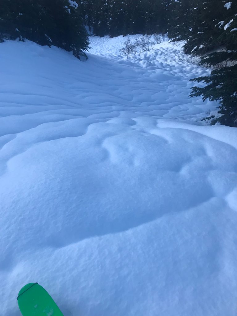
Rain runnels on Tincan prior to the storm starting on Sunday. What will it look like today???

