NAVIGATING THE BACKCOUNTRY IN SPRINGTIME
Spring has made a dramatic appearance in Southcentral Alaska, which means we are in the midst of a transition from a winter snowpack to a warm and wet spring snowpack. Managing springtime avalanche problems can be tricky, with conditions often changing from stable to dangerous within a matter of hours. Some of the factors contributing to the unique set of challenges in the springtime– long days and warmer temperatures– also make this one of the best times of the year to get out and enjoy the mountains. Here are few thoughts to consider as we shift gears and start navigating the backcountry with a springtime mindset.
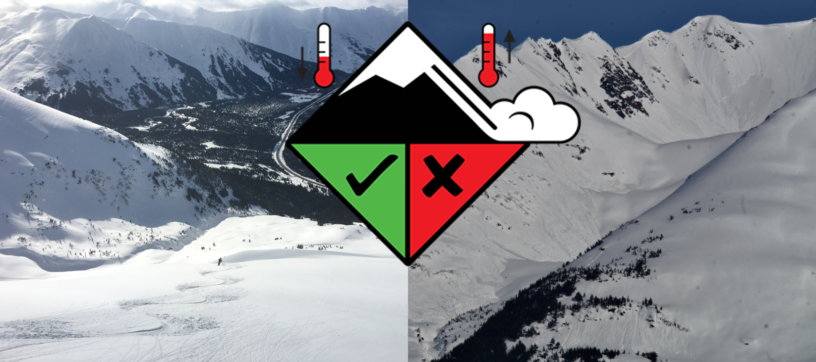
 Conditions can change from stable to unstable within a matter of hours as temperatures rise in the springtime.
1. Stability can change quickly. Be aware of increasing danger as temperatures rise during the day. Ideally, the snow surface will freeze overnight (see thought #2 for more on this), locking up the snowpack and providing stable conditions in the morning. As the snow heats up during the day, the supportable surface crusts melt and we can start to see wet loose avalanches and in some cases wet slab avalanches. This change happens quickly- typically within a matter of hours or less. If you start to notice that you are sinking up past your boot tops in wet, sloppy snow, it is time to head for cooler aspects, out of avalanche terrain, or simply back to the parking lot.
Wet Loose Avalanches: This is the most common springtime avalanche type and can be either small or so large they take out an entire slope. Pay close attention in steep terrain. A wet loose avalanche can be particularly hazardous as they are heavy and difficult to escape from. These can also trigger wet slabs on the slopes below.
Wet Slab Avalanches: Wet slab avalanches happen when water is draining through the snowpack and lubricating an old weak layer or crust. As temperatures rise and/or rain falls on a snowpack (particularly on one that has not seen a lot of water yet like upper elevation north aspects) wet slabs become possible.
 Wet loose avalanche on the looker’s right side of the photo that started near the ridge, then subsequently triggered this large wet slab avalanche on Raven Ridge in Summit Lake on April 20th, 2021.
2. Pay close attention to overnight refreezing. The most stable (and best riding) conditions are brought on by a solid refreeze. Before you head out, you can pay attention not only to mountain temperatures but also to cloud cover. Clouds act as a type of insulation, radiating heat back into the snowpack and often preventing the snow surface from freezing overnight, or only providing a shallow refreeze. This makes cool, clear nights the most favorable conditions to allow for a thicker refreeze, which also provides more time before warm daytime temperatures melt the surface snow and create dangerous wet avalanche conditions. The best corn cycles happen after a solid refreeze– where the snow right at the surface can soften in the daytime heat, while the thicker crust immediately below can still support the weight of a person or snowmachine. Once the entire surface crust melts and loses strength, that’s when your boot, skis or track starts to punch deep in wet snow. At this point it’s high time to move away from that aspect.
3. Aspect is key. The avalanche danger follows a predictable pattern around the compass in the spring. Northeast/east -facing slopes see the sun first, which means they start to melt and become unstable earlier in the day than south-facing slopes, which are followed by west-facing slopes. True northerly slopes tend to lag behind, often holding dry snow for days after a storm. This can make north-facing slopes trickier to manage, because they are the slowest to transition to a springtime pack. That means that the lingering persistent weak layers tend to stick around longer on the north-facing aspects, which makes it more difficult to assess stability.
4. Pay attention to the weather. As always, more snow will usually equal more avalanches. But now that we are seeing warmer temperatures, we also need to pay close attention to rain on snow. Rain creates dangerous avalanche conditions in a hurry, since it is simultaneously applying a load to the snowpack and weakening the snowpack by melting bonds between grains. On sunny days, the heat of the sun will melt the snow surface and increase the avalanche danger. But this can also happen on cloudy days, where the insulating effect of the clouds (mentioned in thought #2) can actually enhance the heating impact of the sun in melting the snow surface. This is commonly referred to as ‘greenhousing’, since the water vapor in the clouds is behaving similarly to the panels on a greenhouse.
5. Spring snow storms. It is still possible to get significant snowfall this time of year. If it is raining hard at lower elevations, it may being snowing hard up in the high elevations. Watch for how much new snow has fallen and what types of surfaces it is sitting on. If there is a foot of new snow on a hard frozen crust, it could be quite touchy and avalanche easily; it also may stick rather well depending on the conditions. What is very likely however, is once the new layer of snow warms up (sun or a cloudy warm day), that new snow will start falling apart and avalanche in either slabs or sluffs. If 3 feet of new snow falls, large dangerous avalanche can be expected, versus only 8″ of new snow. Remember, it is still possible to trigger dangerous slab avalanches in the spring.
6. Be aware of overhead hazard. It can be easy to be caught off guard while hiking in the lower elevations during the springtime. It is important to be aware of the possibility of avalanches running down from high-elevation start zones into the lower elevations, where the snow may be entirely melted out. You can manage this problem by choosing your trails wisely, avoiding those trails that cross below steep terrain until we are further out into the summer. Some of the most popular trails in the area are also the most dangerous- Byron Glacier, Crow Pass, Devil’s Pass, and Russian Lakes all have significant avalanche exposure.
7. Be aware of red flags. The main thing to pay attention to in the springtime is how well the surface snow is frozen and ‘locked up’. As mentioned above, when you start sinking up past your boots in wet and mushy snow you can assume conditions are becoming dangerous. But don’t forget about all of the other signs we think about during the winter. Shooting cracks, collapsing, and fresh avalanche activity are all still relevant indicators of dangerous conditions in the springtime.
8. Give cornices plenty of space. Cornices become more tender and prone to failing as they warm up in the spring. They also have the potential to grow large rapidly during intense springtime storms with strong winds and wet, sticky snow. While it is always a good idea to give cornices plenty of space, it is more important than ever in the spring. This includes standing on top of them as well as traveling below them.
9. Glide Avalanches – watch out for those ‘brown frowns’. Glide cracks can release into a glide avalanche at anytime. Watch for these brown cracks and limit time, or avoid if possible, being under them. Glide avalanches are completely unpredictable and destructive.
There is obviously a lot to consider when getting out in the springtime. The most important message is that conditions can change from stable to unstable in a hurry. By paying attention to the weather, observing conditions while you are out, and following safe travel protocol, this time of year can provide some spectacular mountain experiences. Hopefully these tips give everybody a little food for thought as we launch into springtime. Here’s to a safe (and long) spring season with plenty of good riding and skiing to come!