Turnagain Pass Avalanche Forecast
|
![]() ![]() |
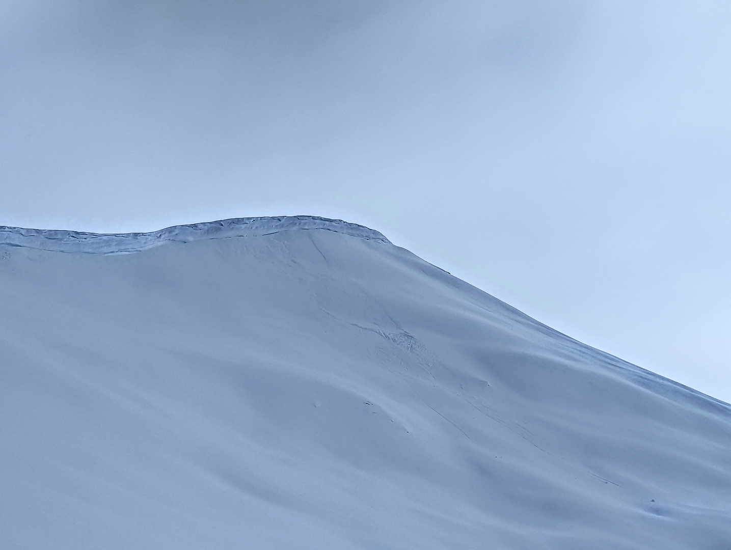
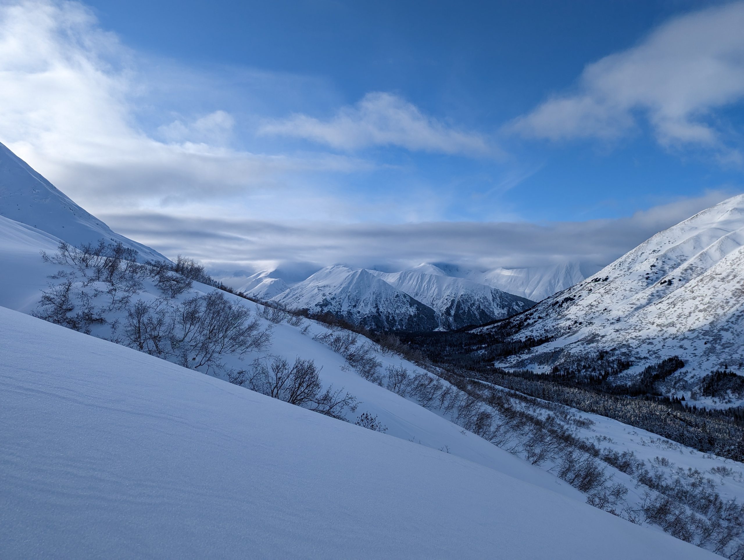
The avalanche danger is MODERATE above 1000′ today. Human triggered avalanches 1-2′ deep are possible in areas with lingering wind slabs from the Valentine’s Day storm. In areas closer to Prince William Sound that saw much heavier precipitation on Tuesday lingering storm snow avalanches up to 2′ deep are possible, even in areas sheltered from the wind. Larger avalanches releasing on buried weak layers 2-4′ deep are possible in isolated areas where these weak layers are well preserved. We recommend careful evaluation of the snowpack before entering avalanche terrain. Below 1000′ the avalanche danger is LOW.
WINTER WEATHER ADVISORY: The NWS in Anchorage has issued a winter weather advisory for Western Prince William Sound from 10 pm on Thursday to 9 am Friday. Strong winds and heavy snowfall are expected overnight with 4-6″ of snowfall in the core forecast area and 8-12″ in areas closer to Prince William Sound. Avalanche danger will increase rapidly with the onset of this storm.
No new avalanches were reported yesterday. We saw one area in PMS bowl on Magnum where a chunk of cornice fell off and entrained loose snow below. Otherwise we did not see any recent avalanche activity during the period of good visibility yesterday morning.
Cornices have grown quite large along Magnum ridge and a sizable chunk fell off during the last wind storm and entrained some loose snow below. Photo 2.15.23
Signal Word | Size (D scale) | Simple Descriptor |
Small | 1 | Unlikely to bury a person |
Large | 2 | Can bury a person |
Very Large | 3 | Can destroy a house |
Historic | 4 & 5 | Can destroy part or all of a village |
The Valentine’s Day storm strongly favored areas closer to Prince William Sound, with reports of up to 2′ of new snow in more coastal areas while Turnagain Pass only received 4-6″. Moderate easterly winds during the storm formed wind slabs 1-2’+ deep at upper elevations on Tuesday. Yesterday we saw calm winds and cold temperatures which should give these lingering wind slabs some time to become less sensitive to human triggers. It is still possible for human triggered wind slabs on specific terrain features today, including upper elevation ridgelines or cross loaded gully features. To identify wind slabs keep an eye out for stiff or hollow feeling snow and look for shooting cracks in wind loaded areas to get a sense of how reactive this avalanche problem is today.
The cold temperatures during the last storm have left a fair bit of low density snow on the surface which will make dry loose avalanches (aka sluffs) likely today on steeper terrain features. Be aware of the terrain below you and have a plan to manage your sluff if you are travelling in steeper terrain today. Cornices have also grown quite large and it is possible to knock off a big chunk if you are travelling along a corniced ridgeline today.
Calm weather yesterday gave the snowpack some time to adjust to the new snowfall from the Valentine’s Day storm. Photo 2.15.23
Signal Word | Size (D scale) | Simple Descriptor |
Small | 1 | Unlikely to bury a person |
Large | 2 | Can bury a person |
Very Large | 3 | Can destroy a house |
Historic | 4 & 5 | Can destroy part or all of a village |
There are a few different persistent weak layers in the snowpack that we are continuing to monitor, but we have not seen any avalanche activity on these layers this week. The most recent avalanche observation was from Eddies on Saturday which likely released on facets above the 1/25 melt freeze crust. This weak layer extends up to roughly 2000′ and has shown signs of propagation in stability tests. In areas that have not seen much snowfall in the past few weeks the layer is still near the surface and could become more reactive with new snowfall. In areas near Prince William Sound this layer is up to 4′ deep with a strong snowpack on top.
At higher elevations the crust does not exist but there are a few layers of surface hoar and facets in the upper snowpack that could cause wind slabs or storm snow avalanches to linger longer than normal. On Magnum yesterday we found a layer of facets about 16″ deep that was somewhat reactive in our snowpit tests and is worth keeping track of as a potential future weak layer. In addition to these surface weak layers we are still tracking the 1/10 buried surface hoar that is widespread across the forecast area. In most locations this layer has likely already collapsed or bonded to the layers above and below and is not showing signs of instability in snowpit tests. However, in a few isolated locations that are protected by forest and off the beaten path we have found propagation on this layer of buried surface hoar. We were surprised to get propagation in two extended column tests on this layer in the treeline elevation band on Cornbiscuit yesterday. The buried surface hoar crystals were very large and well preserved in this area but it is a reminder that there is always some uncertainty with a buried weak layer like this.
Layer of facets 16″ down that is worth keeping track of for future storms. Photo 2.15.23
For areas with a thinner snowpack (Silvertip, Summit Lake), the weak layers near the bottom of the snowpack are still a factor in our terrain choices. This includes the weak snow around the Thanksgiving crust, as well as faceted snow at the bottom of the snowpack. Luckily these layers do not seem to be a factor in our core advisory area, but they are still a concern around the periphery.
Yesterday: Mostly sunny in the morning but a wall of low level clouds moved into Turnagain Pass around noon leading to overcast cloud cover. Temperatures were in the teens at upper elevations and low 20s F at road level. Winds were calm at all elevations and no new precipitation fell.
Today: Another calm day before a storm enters the forecast area later this evening. During the day expect calm to light winds averaging 0-10 mph and mostly cloudy skies. Snowfall and stronger winds are expected to start around 10 pm this evening. Wind speeds should reach 20-40 mph overnight with gusts of 60+ mph. By Friday morning snowfall totals could add up to 4-6″ for Turnagain Pass, Girdwood, and Summit Lake. Areas closet to Prince William Sounds like Portage and Whittier could see 8-12″ of more of new snow. Snowline is expected to remain at sea level throughout the storm.
Tomorrow: Snowfall is expected to end rapidly during the day on Friday and give way to clearing skies. Wind speeds will remain high Friday morning with averages of 20-40 mph out of the east. Around midday winds will switch to the west and decrease to 15-30 mph. Friday afternoon and evening should a brief period of clearing skies before another pulse of snowfall arrives overnight Friday or Saturday morning.
PRECIPITATION 24-hour data (6am – 6am)
Temp Avg (F) | Snow (in) | Water (in) | Snow Depth (in) | |
---|---|---|---|---|
Center Ridge (1880′) | 22 | 1 | 0.1 | 71 |
Summit Lake (1400′) | 19 | 0 | 0 | 37 |
Alyeska Mid (1700′) | 21 | 0 | 0 | 73 |
Bear Valley – Portage (132′) | 23 | 0 | 0 | – |
RIDGETOP 24-hour data (6am – 6am)
Temp Avg (F) | Wind Dir | Wind Avg (mph) | Wind Gust (mph) | |
---|---|---|---|---|
Sunburst (3812′) | 14 | E | 3 | 12 |
Seattle Ridge (2400′) | 17 | SE | 0* | 4* |
* The wind sensor at Seattle Ridge weather station looks like it has been rimed up for much of the past 24 hours.
Date | Region | Location | Observer |
---|---|---|---|
03/23/23 | Turnagain | Avalanche: Magnum | Amanda Goss |
03/23/23 | Turnagain | Observation: Cornbiscut flats | Noah Lohr |
03/23/23 | Turnagain | Avalanche: Turnagain Road Obs | Megan Guinn and Others |
03/22/23 | Turnagain | Observation: Eddies | John Sykes |
03/20/23 | Turnagain | Avalanche: Turnagain Pass Road Observations | Megan Guinn |
03/20/23 | Turnagain | Avalanche: Lynx Creek Drainage | CNFAIC Staff |
03/20/23 | Turnagain | Observation: Eddies | Nolan Dumont |
03/20/23 | Turnagain | Avalanche: Cornbiscuit | Allen Dahl, AAS Level 1 |
03/19/23 | Turnagain | Observation: Tin Can | Paul Schauer |
03/19/23 | Turnagain | Avalanche: Tincan | Megan Guinn |
Status of riding areas across the Chugach NF is managed by the Glacier and Seward Ranger Districts, not avalanche center staff. Riding area information is posted as a public service to our users and updated based on snow depth and snow density to prevent resource damage at trailhead locations. Riding area questions contact: mailroom_r10_chugach@fs.fed.us
Area | Status | Weather & Riding Conditions |
---|---|---|
Glacier District |
Subscribe to Turnagain Pass
Avalanche Forecast by Email
This is a general backcountry avalanche advisory issued for Turnagain Arm with Turnagain Pass as the core advisory area. This advisory does not apply to highways, railroads or operating ski areas.