Wet avalanches are predictable and avoidable. Cooler and freezing overnight temps above 4000' will assist in the corn cycle and keep north aspects more stable. Punchy and saturated snow should be avoided. If you want to get out and enjoy the spring, timing is everything! Wet avalanches can be dangerous.
Avalanche: Hatcher Pass
Location: Wet avalanches and Road obs
Drove up to HP to observe road aftermath and document WET avalanches from this week. Numerous wet loose and wet slabs were observed on East, South, and West aspects. We estimate most of the wet avalanches to have occurred between April 18-22, except for the photos of debris and the destructive force from the Easter avalanches 4/4.
Forecaster Comments
| Trigger | Natural | Remote Trigger | Unknown |
| Avalanche Type | Wet Slab | Aspect | South Southwest |
| Elevation | 3600ft | Slope Angle | unknown |
| Crown Depth | unknown | Width | unknown |
| Vertical Run | unknown |
Avalanche Details
Numerous wet loose and wet slab avalanches observed from the rapid warm up at HP between April 18-21st.
Obvious signs of instability
| Recent Avalanches? | Yes |
| Collapsing (Whumphing)? | No |
| Cracking (Shooting cracks)? | No |
Observer Comments
Rapid warm up this week, faster than usual. In general, nighttime temps have not been freezing below 4500' for a week and more than a week below 3500'.
Numerous wet loose and wet slabs that have gone to the ground. This wet avalanche cycle is earlier than usual for HP and more aggressive than we've seen in the past.
Weather
No new snow since 4/4.
Calm winds today.
Temps maxed out in the 40's at 4500' today, much cooler the past few days.
Snow surface
Wet snow, depth varies. Isothermal in many locations below 3500'.
Northerly taking a while to warm up and be softened by the sun with slightly cooler overnight temps.
Snowpack
no tests performed today

Debris destroyed the guardrail from historic Easter avalanches 4/4
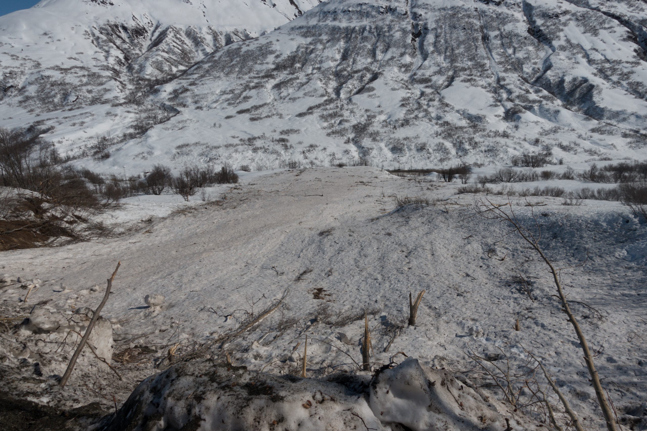
Debris from historic Easter avalanches 4/4
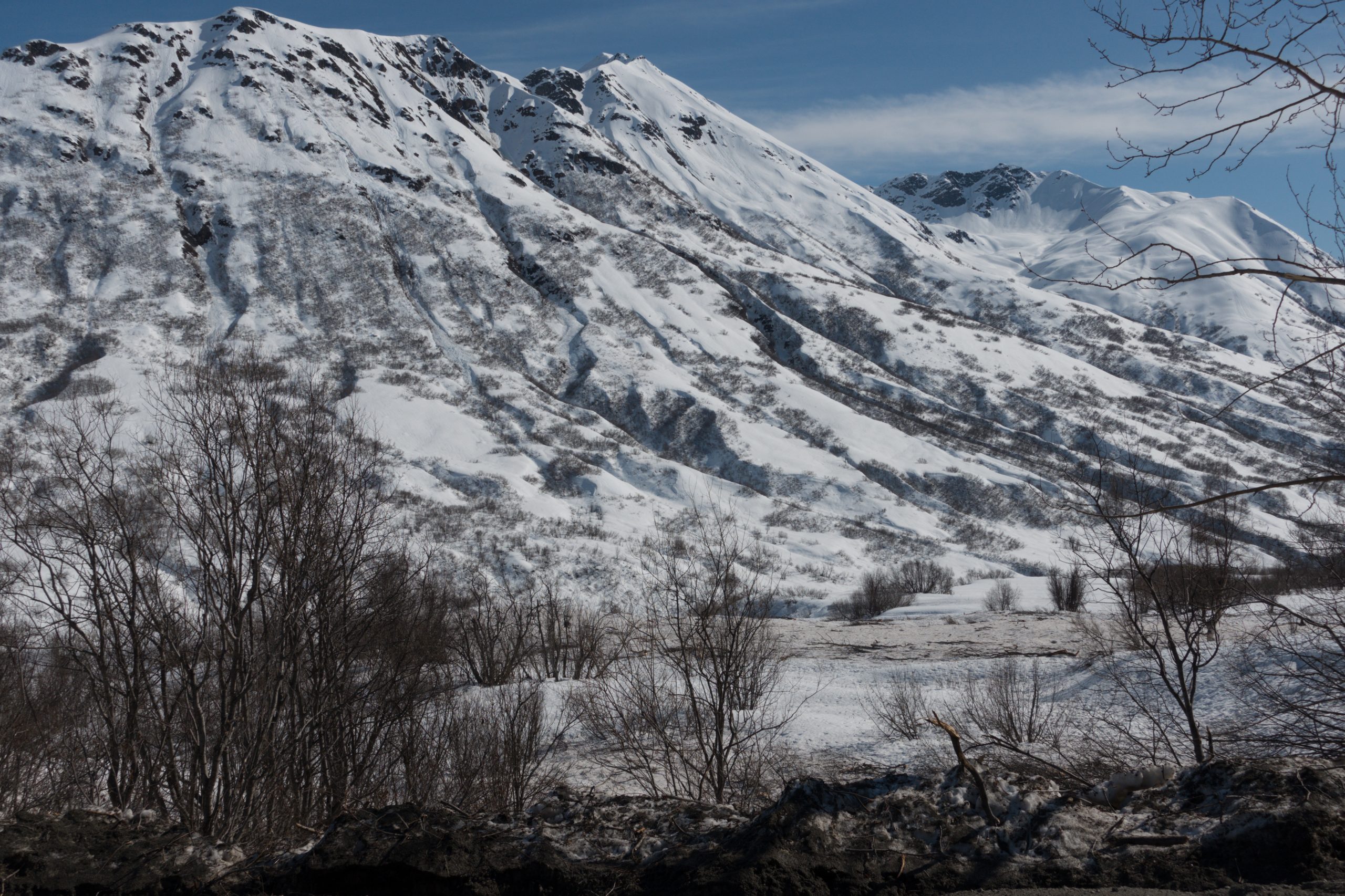
Wet avalanches btw Far Side and Nosehairs, S to W 4200', est 4/20

4/23. Debris from Easter Avalanches on 4/4

Looking up Marmot gully 3 and debris from Easter Avalanches

Road clearing and debris from Easter Avalanches on 4/4

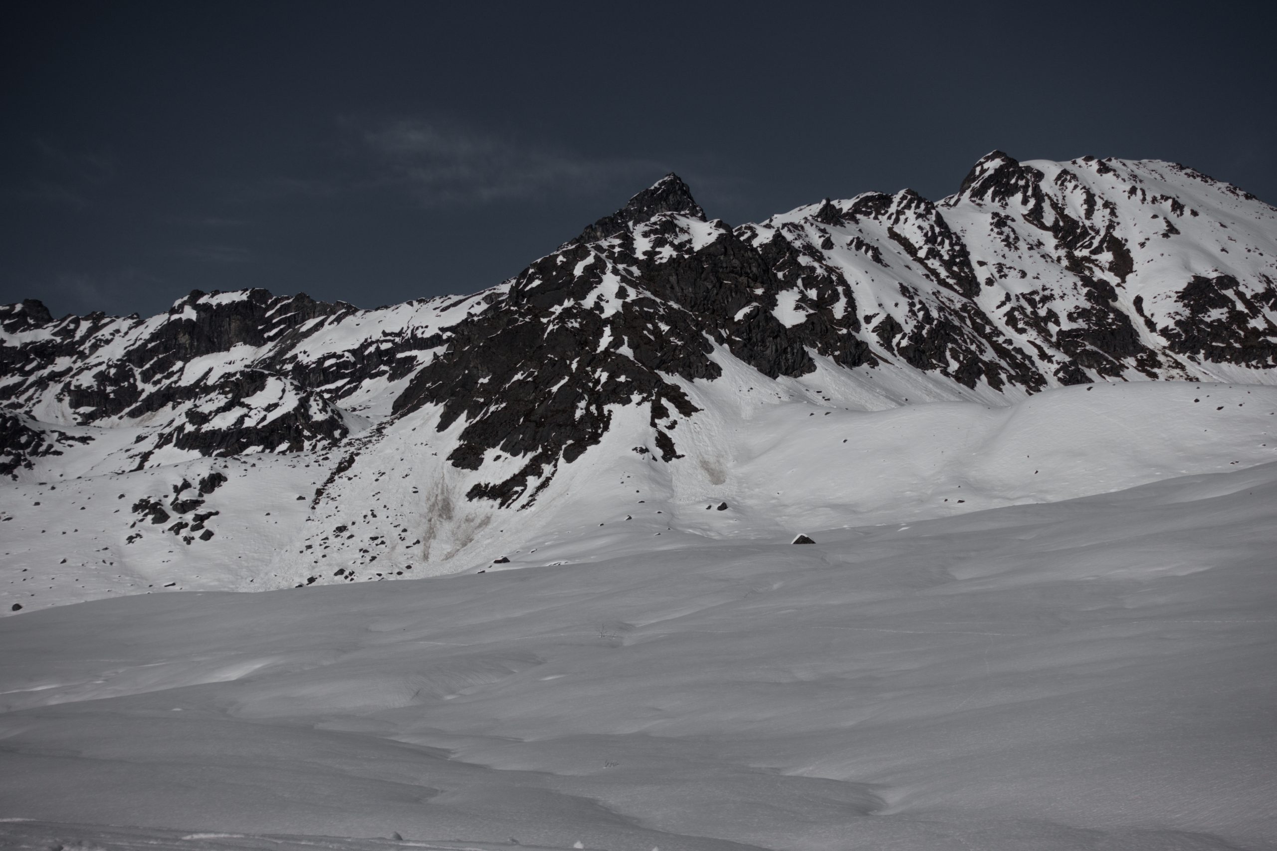
Marmot Wet loose and Wet Slab , SE,S 4300', est 4/20

Lower Microdot Wet Avalanches , SW,W 4000'
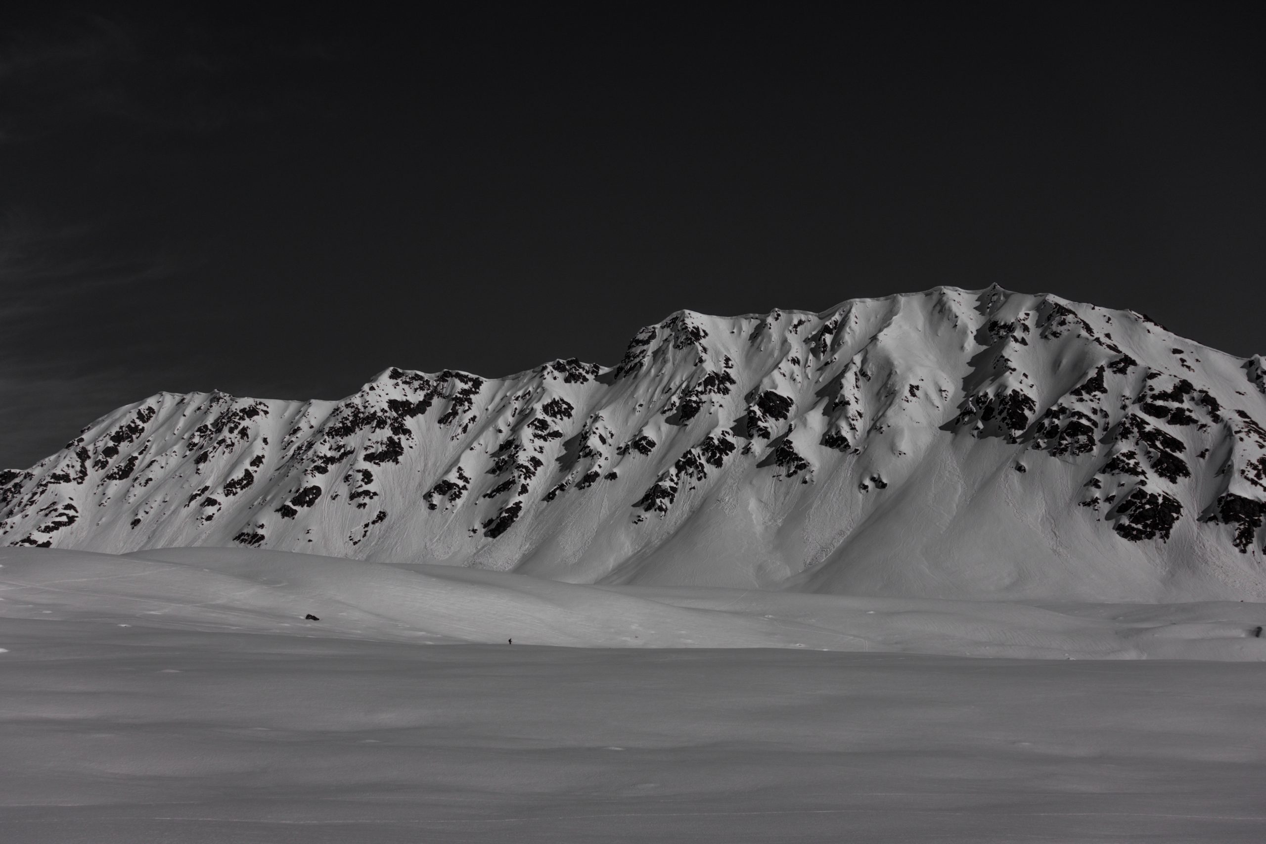
Rae Wallace naturals , SW, W, NW 4200' within this week

Snapped tree from the destructive force of the Easter Avalanches 4/4
Wet debris in the distance, old debris from 4/4 in the forefront

Wet slab at the end of the Punk Spines ,SW 3000', est. 3/22

Hot weather and Rapid Warm up this week