Rapid new load of snow, moderate wind, and increasing temps will increase avalanche hazard at HP. Avalanches are likely. Avalanche hazard will persist, and could increase if temps spike as predicted and/or we see rain . Expect new wind slabs 12-18" thick at high elevation (3500+) on NW-N-NE aspects on slopes above 35 deg.
Observation: Hatcher Pass
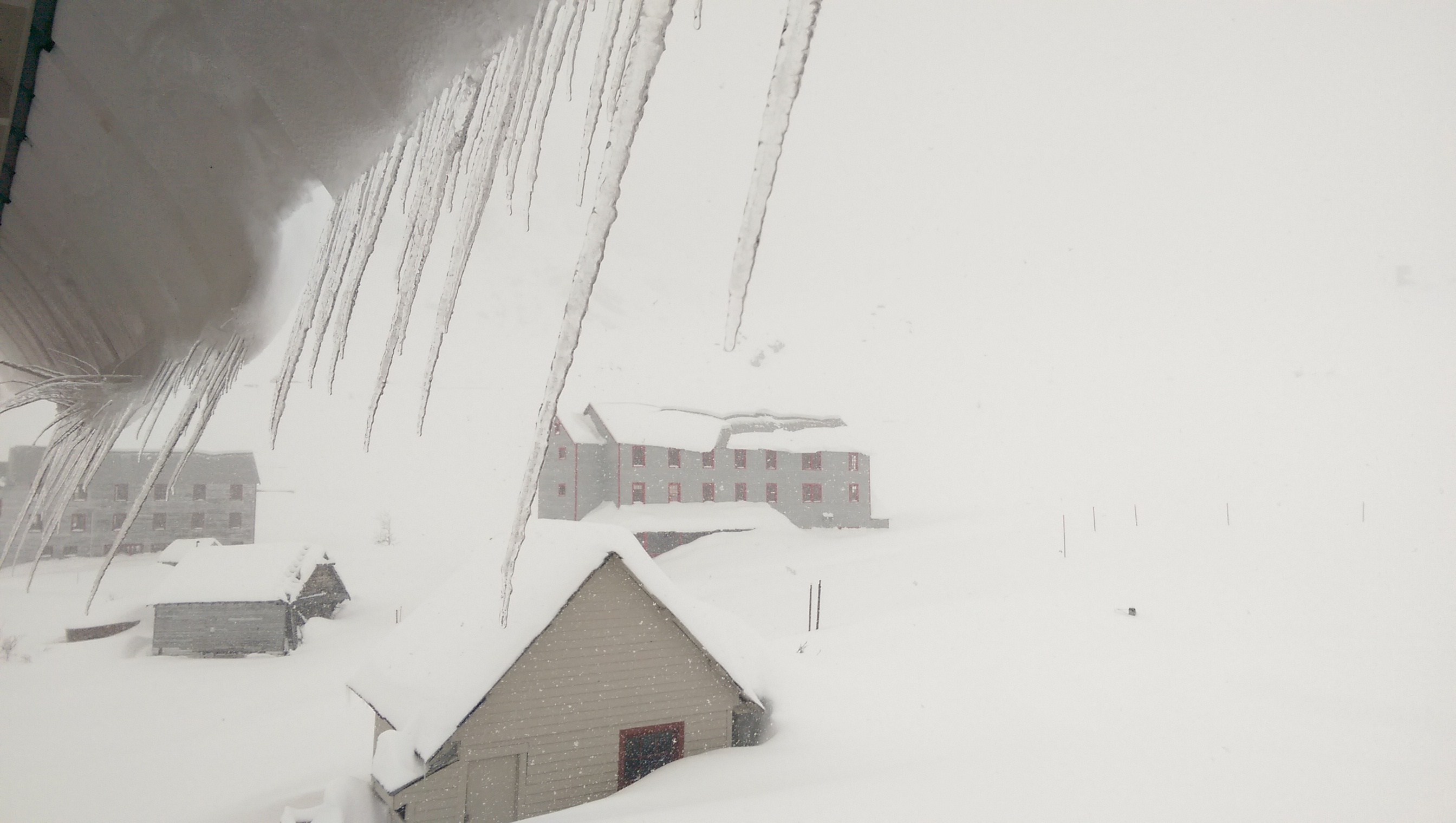
Location: Independence Mine
Forecaster Comments
Observer Comments
Rapid loading. Temps increasing throughout storm. Moderate winds. Avalanche danger will increase.
Weather
Hatcher Pass has received over 17" of new snow since 1500 3/27. 17" in 22 hours. Temps started at 20deg F increasing to 26 deg. F at 4500'. Current temps 32 deg F at 3500'. Winds accompanied the new snow blowing 15-20 mph, gusting 20-30 SE. Temps are forecasted to increase significantly, potentially bringing rain to HP, and a sudden spike in avalanche danger as the pineapple express comes to town.
Snow surface
Old snow surface prior to the storm consisted of old faceted powder, stout sun crusts, wet snow.
Snowpack
Poor structure existed prior to storm.
IMAG0744