Avalanche: Hatcher Pass

Location: Gold Cord Cross Hill

Date:
Observer:
Contact, Location & General Observations
Enter your contact information and a location for this observation. Note that you can submit anonymously, however if you would like to share your name with staff, but not the public, select No for "May we include your name in your observation"
Forecaster Comments

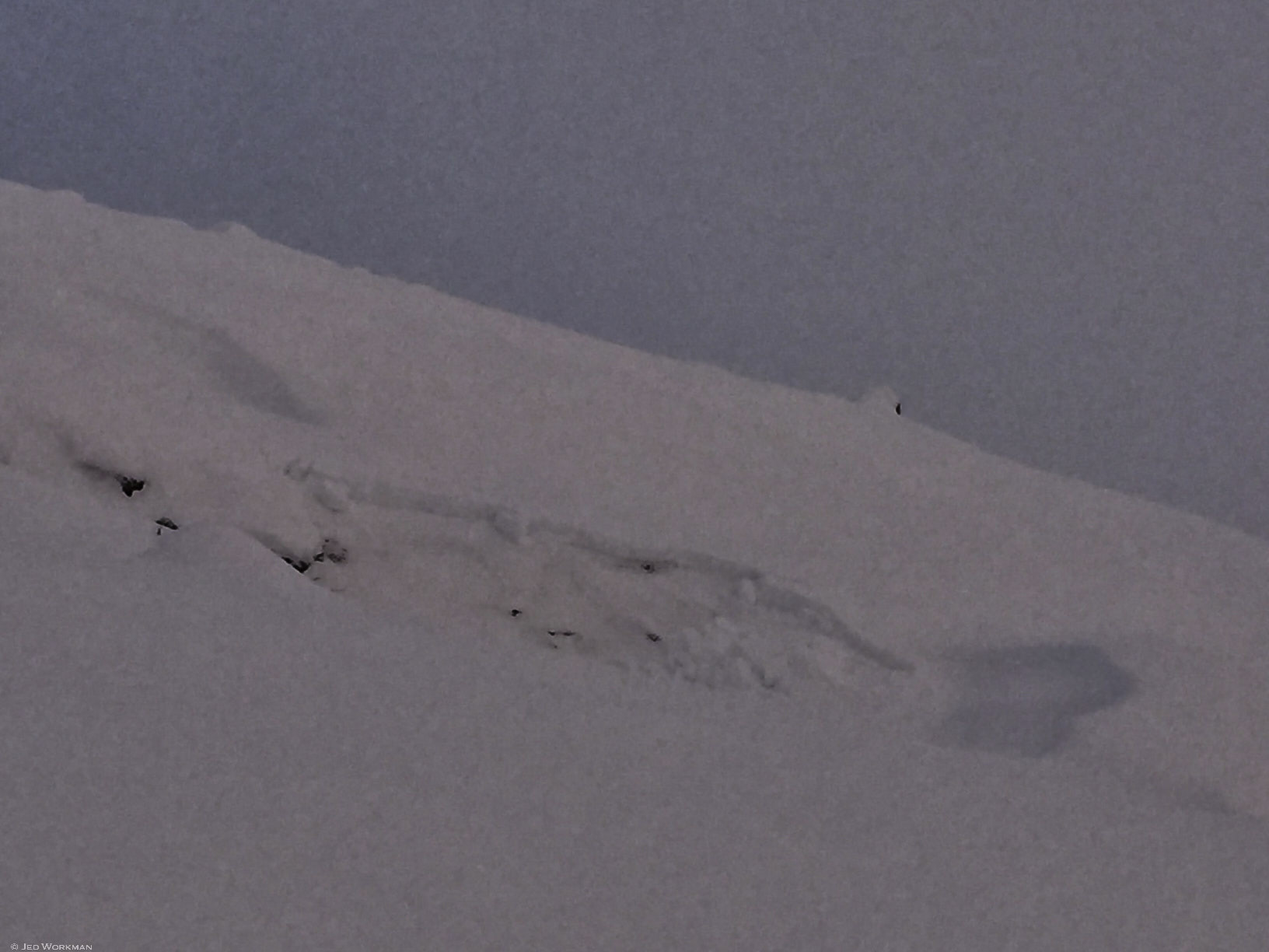
These recent avalanches are a good example of a very weak, faceted snowpack failing under a fairly light load. New snow and wind were a factor, but winds were never very strong for very long and the snow load was fairly gradual. Size is D1, about 1 foot deep, 20-60ft in width and run 10-25 feet. This weak layer will continue to be a persistent problem into the long-term future.

As the storm snow consolidates and stiffness over the next couple days, it will become progressively more difficult to trigger, and the size of the avalanches will increase. Add more wind and/or precipitation and the size could increase substantially. Storm snow avalanches tend to fail within 24-48 hours of a storm and then begin to subside. The problem here is that this new storm snow sits on persistent weak grains, so in the next day or two expect the classification to change to persistent slab and for human triggered avalanches to continue to be a problem.

This avalanche conditions "best guess" for the next few days is intended to provide you with an outlook for the avalanche hazard. You should employ careful snowpack evaluation, cautious route finding, and conservative decision making, especially if you head into the mid to upper elevations (~3500'+) over the next few days, at least.

Avalanche Details
If this is an avalanche observation, click yes below and fill in the form as best as you can. If people were involved, please provide details.
Trigger NaturalRemote Trigger0
Avalanche Type Soft SlabAspect Southwest
Elevation 3800ftSlope Angleunknown
Crown Depth 13inWidth 60ft
Vertical Run 25ft  
Red Flags
Red flags are simple visual clues that are a sign of potential avalanche danger. Please record any sign of red flags below.
Obvious signs of instability
Recent Avalanches?Yes
Collapsing (Whumphing)?Yes
Cracking (Shooting cracks)?Yes
Weather & Snow Characteristics
Please provide details to help us determine the weather and snowpack during the time this observation took place.
Snowpack

Storm snow, ECTP10SP down 35cm (~1 foot)on adjacent slopes to recent natural avalanches. 55cm - 20cm Fist new snow, 20-10cm 1 Finger faceted melt freeze crust, 10-0 Fist depth hoar

Photos & Video
Please upload photos below. Maximum of 5 megabytes per image. Click here for help on resizing images. If you are having trouble uploading please email images separately to staff.