| Trigger | Natural | Remote Trigger | Unknown |
| Avalanche Type | Hard Slab | Aspect | North Northwest |
| Elevation | 4700ft | Slope Angle | unknown |
| Crown Depth | unknown | Width | 1000ft |
| Vertical Run | unknown |
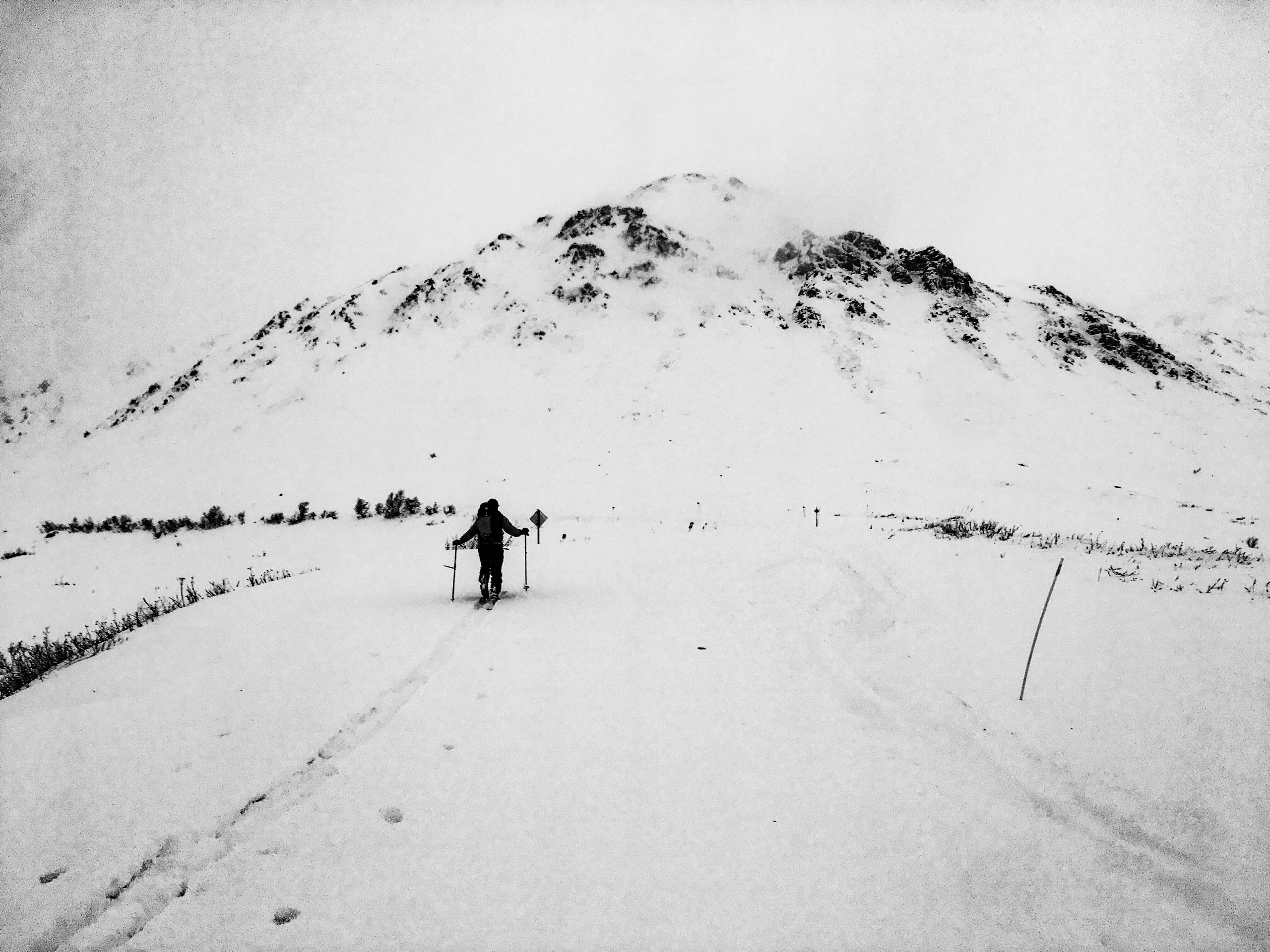
Avalanche: Hatcher Pass
Location: $1000/ April Bowl
Toured up $1000 run to April Bowl to assess stability at upper elevation after 12/18-22 storm. Observed large D2 natural in April Bowl. No whumping, cracking, or collapsing observed on our tour today.
Avalanche Details
We traveled up to April Bowl and observed a large D2 natural avalanche that likely occurred on 12/21 or 12/22 after a recent load of approx. 10" of new snow combined with strong to extreme gusts 30-50 mph for 24 hrs. The crown was approx 1000 feet wide and a few feet deep. We believe it failed on old near surface facets (now rounding facets) that can be found 2-4 feet deep in the snowpack.
Obvious signs of instability
| Recent Avalanches? | Yes |
| Collapsing (Whumphing)? | No |
| Cracking (Shooting cracks)? | No |
Observer Comments
Recent avalanches from 12/21,12/22 (?) as a result of new snow and moderate to strong ESE/SE winds with strong to extreme gusts 30-50mph for 24 hours on 12/21-12/22.
Natural avalanches observed in April Bowl (NW 4700') Rae Wallace (NW 4500') above 10 mile (NE approx 2000-2500' )
Remotely triggered avalanches on 12/22. See Jake Kayes Obs 12/22.
Weather
16" new snow 12/19-23
Moderate to strong wind with strong to extreme gusts 30-50 mph for 24 hrs on 12/21 and 12/22
Increasing temps throughout the first part of the storm. Ice pellets fell during the storm (and are buried), showing the warmth of the storm (at the cloud layer)
12/23 4500'
1000: 19F, S15 G29mph S2
1200: 18F, SSW 12 G24mph S1
1400: 19F, S6 G18mph S1
Snow surface
Variable conditions everywhere. 1-2' thick wind slabs with 6" new snow from 12/22-23, wind board, old melt-freeze crusts, and possibly some new snow in very protected locations.
Snowpack
Pit 1: 4400' W/NW HS 195cm, ECTP 29 60cm down on rounding facets, CT14 RP 30cm down on ice pellets
Pit 2: 4400' W/NW HS 140cm, ECTN26 60 cm down on rounding facets
Pit 3: 3800' N HS 80 cm, ECTX

Wind stripped ridges from 30-50 mph wind gusts for 24 hours 12/21-22
Skyscraper south aspect 12/23

April Bowl N/NW 4700' D2 Natural likely 12/21 or 12/22
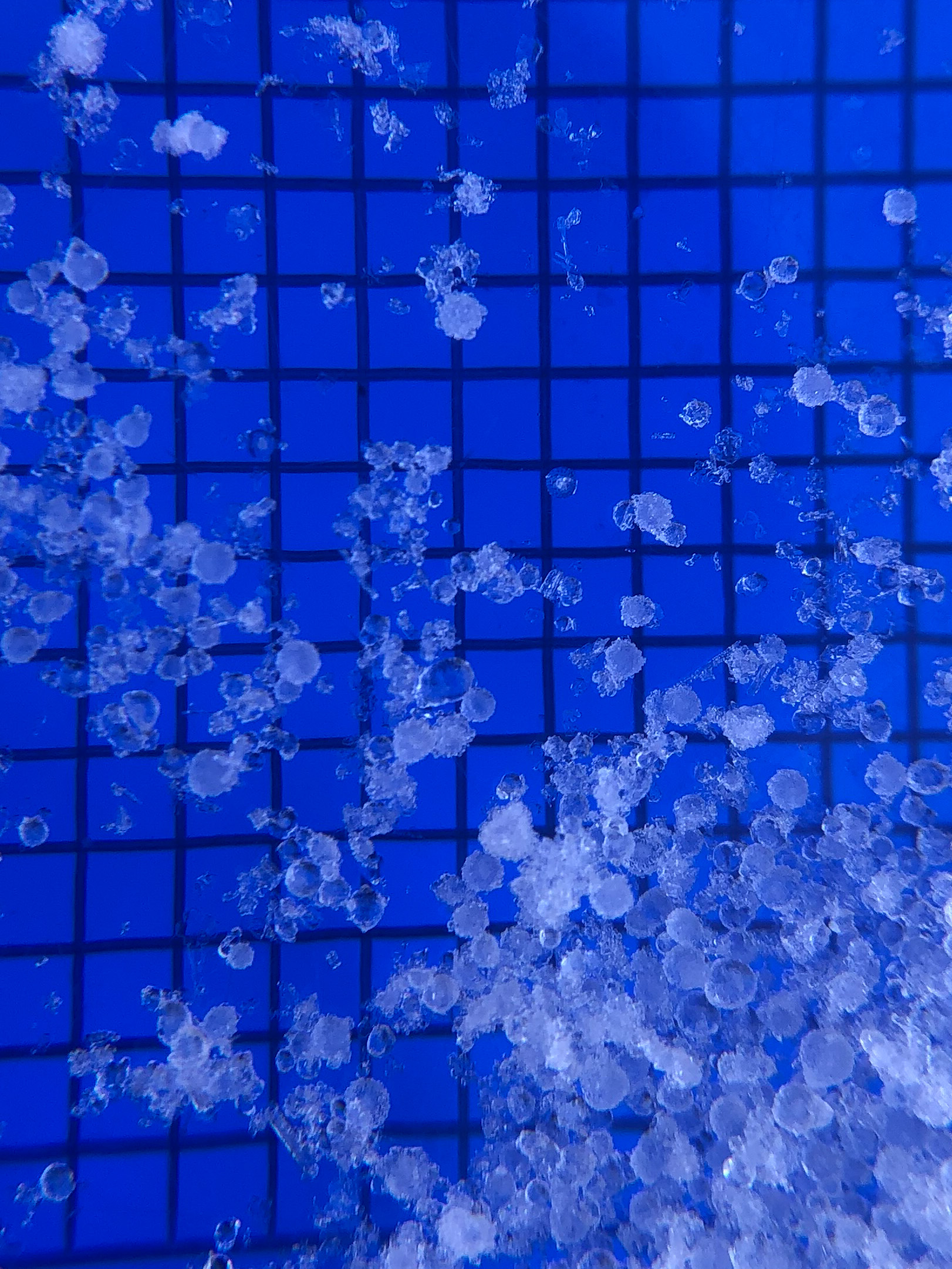
Ice pellets found in the new snow 12/23